
Raptor Migration
Between 13 and 25 October 1997, Andrew Tordoff and Frontier-Vietnam fieldworkers collaborating with the Institute of Ecology and Biological Resources in Hanoi counted 1,752 migrating raptors crossing Trạm Tôn. Of those, 1,401 were Amur falcons and 110 were grey-faced buzzards. The observers noted that larger birds including grey-faced buzzards circled repeatedly before crossing, behaviour the lead author interpreted as seeking rising air. Many observations came after a period of cold and overcast conditions.
A separate set of observations at nearby Ô Quy Hồ recorded 132 migrating raptors between 16 and 25 October. Tordoff published the survey in Forktail in 2002.
Trailhead for Fansipan
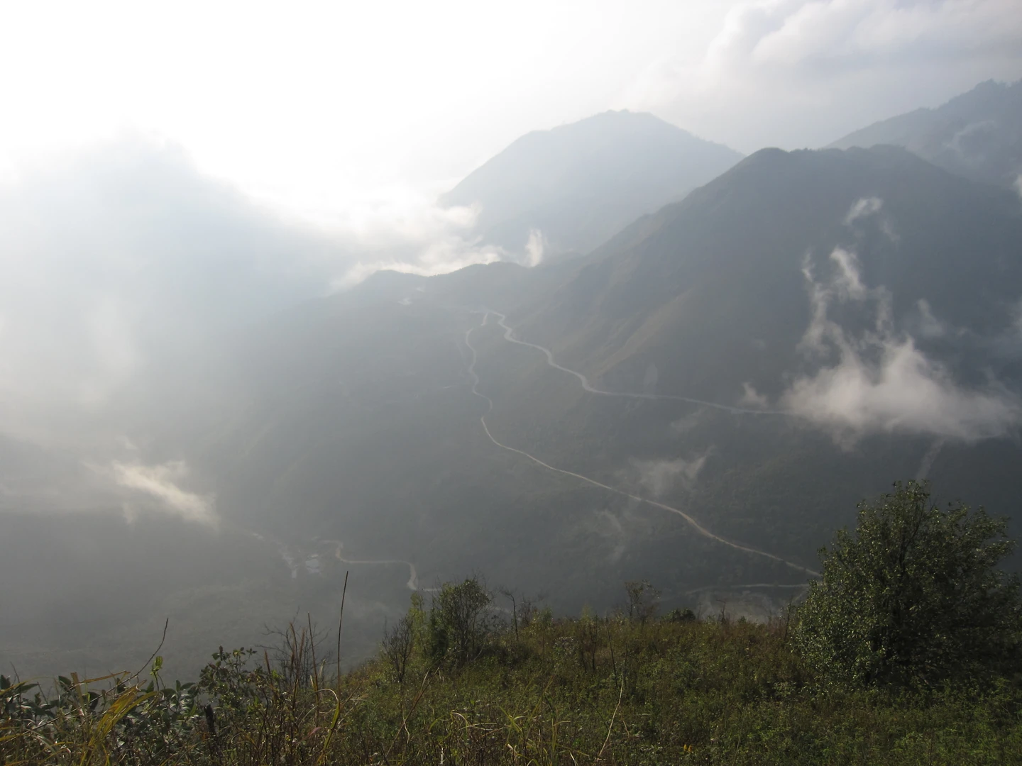
Hoàng Liên National Park, established in 2002, encompasses Trạm Tôn as a trailhead for the route toward Fansipan. Garratt Richardson, writing from a February 2004 trek, recalls the pass as mist-covered and wind-exposed and records wild rhododendrons seen along the way toward Fansipan.
An August 2012 provincial decision listed two visitor routes both starting from Trạm Tôn, one leading to Suối Vàng stream and Thác Tình Yêu waterfall and the other to old-growth forest.
Botanical Survey Locality
In 2005, Trinh Dinh Hung collected plant specimens at Trạm Tôn near the pass. Starr and colleagues drew on that material in a 2019 study, using morphology and molecular analyses to identify the rare Vietnamese sedge Trichophorum scabriculme. A complementary set of samples collected in 2015 from steep damp rocks higher on the Fansipan trail provided additional evidence for the same identification.
Pass Corridor and Naming
The wider Ô Quy Hồ road crossing runs approximately 50 kilometres, according to the Lào Cai Province External Information Portal. The Trạm Tôn ranger station and the pass summit viewpoint known as Cổng trời occupy distinct points within that same corridor.