
Summit and Setting
Chinese Academy of Sciences researchers identify the 5,483 m main peak of Daxueshan in a 2018 study of glacier snow on the range. First-hand local climbing records use Touming Mengke East Peak for this summit and distinguish a separate South Peak on the same crest.
Laohugou Glacier No. 12
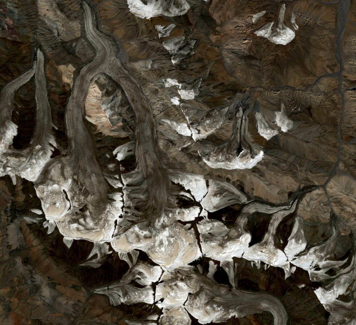
Laohugou Glacier No. 12, also known as Touming Mengke Glacier, has an east branch and a west branch that converge down-valley before the joined ice flows northward. Field researchers measured a length of approximately 10 kilometres for the combined glacier system.
Field surveys recorded 72 metres of recession of the glacier front from May 1962 to August 1976. A 2022 paper used drone imagery and ground control to document 85.79 metres of additional retreat from 2015 to 2021.
2012 Ascents
Three members of Beihang University's Lingfeng mountaineering club reached the 5,483 m East Peak in summer 2012. Some climbers turned back as visibility deteriorated, while others continued to the summit, according to club members' first-hand accounts. In October 2012, Zhao Xiaoshan climbed to the summit as part of a separate party, and in a 2024 interview he recalled how the group helped an injured teammate on the descent.
Glacier Science and Observation Record
Wang and colleagues tracked ice movement using surface velocity stakes measured repeatedly with GPS and studied internal temperatures using instruments lowered into boreholes, producing a numerical flow model for Laohugou No. 12 published in 2018. Liu and colleagues documented long-term area, volume, and terminus changes through 2015 using ground GPS measurements, topographic maps, and WorldView-2 imagery. A 2022 drone study measured terminus position and surface change near the lower glacier using aerial photographs tied to differential-GPS field reference points.