
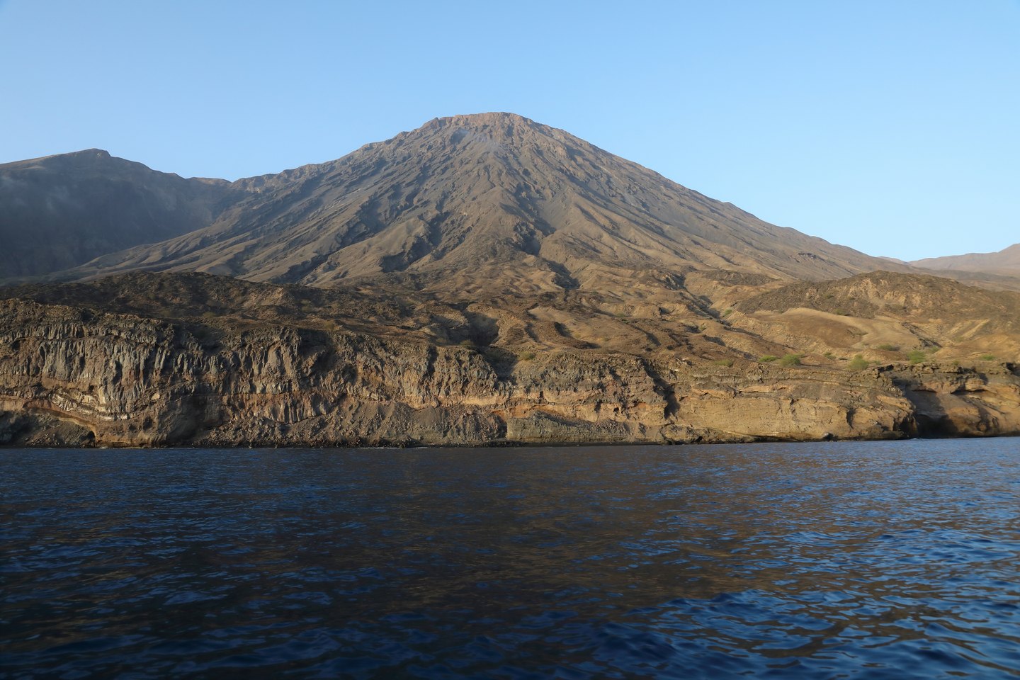
Geological and Volcanic Setting
Santo Antão is an island of volcanic origin and Topo de Coroa clearly expresses that nature: the morphology of the summit and its slopes reflects eruptive processes that shaped the island's topography over geological timescales. The 2014 legal instrument that defined the boundaries of the Topo de Coroa Natural Park based the designation, among other factors, on the area's geological characteristics, recognising the singularity of the volcanic rock formations as a value to be preserved. Data on any historic eruptions do not appear in the available sources.
The delimitation approved in 2014 established an area of approximately 8,491.6 hectares, integrating the park into Cape Verde's National Network of Protected Areas. It is possible that the boundaries have been subject to subsequent alterations, so the 2014 extent should be understood as the reference at the time of formal establishment and not necessarily as the current configuration.
Biodiversity and Endemic Flora
The concentration of endemic plants is among the central justifications for the park's creation. The altitude and insular isolation of Santo Antão have created conditions for the development of species found nowhere else in the world, and Topo de Coroa is one of the most significant nuclei of that botanical diversity within the Cape Verdean context. The park also incorporates agricultural ecosystems, recognising that the plateau landscape is the product of the interaction between natural processes and centuries of human presence.
The coexistence of protected habitat and cultivated land is one of the defining features of this protected area. Native vegetation and agricultural plots are not simply in opposition: in many parts of the plateau they coexist in continuity, and the park's management model must consider both components as part of the same landscape system.
Planalto Norte, Communities and Tourism
Inforpress reported that tour operators and communities working on the Planalto Norte — the vast high-altitude surface surrounding Topo de Coroa — have called for investment capable of boosting local tourism. This reveals a territory where economic activity tied to the mountain landscape is an existing reality, driven by residents and local stakeholders, not merely an untapped potential.
The northern plateau of Santo Antão thus functions as a space of multiple uses: a conservation area with formal status, an agricultural zone with crops adapted to altitude, and a destination for visitors drawn by the island's geological and biological distinctiveness. Topo de Coroa, as the highest point of this whole, represents the most visible expression of a landscape that combines volcanism, endemism and Atlantic rural life.