
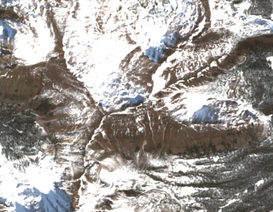
Glacial Basin to the North
A historical USGS glaciation report identified a cirque immediately north of the summit, a glacially carved basin enclosed by walls rising more than 1,000 feet above the floor. These steep headwalls and the rock material left across the basin floor preserve geomorphic evidence that researchers have drawn on to reconstruct the earlier glaciers that once occupied the High Uintas.
Blacks Fork Headwaters
USGS hydrological surveys traced the uppermost reaches of Blacks Fork to the terrain below Tokewanna Peak and nearby Mount Lovenia, a few miles to the south-southeast. Both peaks contribute to branches of the same river system, though they occupy distinct positions along the crest. Early USGS elevation estimates placed Tokewanna at roughly 13,200 feet. Modern lidar measurements refine that figure to approximately 13,170 feet.
High Uintas Wilderness
In 1984 Congress designated the High Uintas Wilderness, protecting the high crest country where Tokewanna Peak stands. The designation encompasses the headwater basins and glacial terrain below the crest, preserving one of the most remote sections of the Uinta range.