
Geology of the Walls
About 190 million years ago, limestone accumulated in a shallow marine setting on the edges of tilted fault blocks. Morocco’s Hassan II Academy of Science and Technology describes reef structures built by marine sponges in these rocks. An Imperial College expedition identified Early Jurassic limestone in the gorge in 1971. The river cut into those older layers long after they formed.
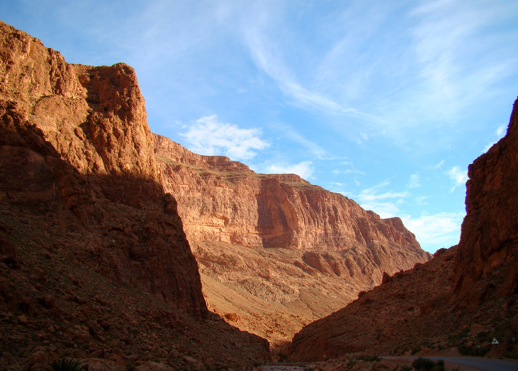
In the photograph taken by Bjørn Christian Tørrissen in April 2011, morning light touches the rock higher up while the lower gorge remains in shadow. The view follows the change from the narrow entrance to a broader reach farther into the mountains.
Water from the Gorge to the Oasis
Springs at the foot of the cliffs feed the Todgha River. In the upper oasis, farmers diverted the river with low weirs called ougougs and carried water to their crops in channels called seguias. Farther downstream, where the river’s flow varies with the season, communities shared water through rotations documented by researchers at the Institut Royal de la Culture Amazighe.
A field study published in 2024 describes how local organisations in the wider Todgha–Ferkla valley manage water and support agriculture. The channels make the link between the mountains and the fields visible at ground level.
Rock Climbing on the Cliffs
Tony Howard and Mick Shaw visited the cliffs in November 1973. Writing in the American Alpine Journal in 1999, Howard recalled that visit and described how the range of routes had grown in the intervening years.
Howard counted more than 200 climbs by the time of his account, most of them equipped with bolts. His description records how sections of the layered limestone had come to serve a new purpose over the course of about 25 years.