
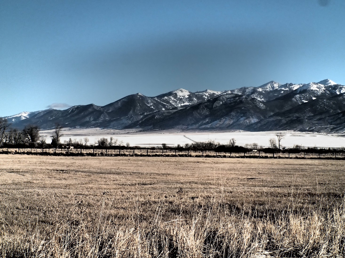
Precambrian Basement and Zircon Record
A 2004 USGS zircon study of the Precambrian crust found detrital zircon grains with ages reaching approximately 3.8 billion years; this figure reflects the age of the source mineral grains, not the granite itself. A Late Cretaceous batholith was intruded through the older gneiss and schist basement, producing the coarse granite now exposed across much of the range.
A 1993 USGS aeromagnetic and gravity survey traced the batholith's subsurface geometry by mapping density contrasts with the surrounding metamorphic rock.
Glacial Landforms
Glacial processes shaped the highlands into cirque basins and U-shaped valleys cut into the batholith and older metamorphic units.
Pony Mining District
The historic Pony mining district lies within the Tobacco Root Mountains. A 1998 USGS report documented gold-bearing veins in the district, describing their occurrence within the range's igneous and metamorphic rocks.