
A forest massif shaped by administrative history
The colonial administration established a first Cèdres park on 3 August 1923, covering approximately 1,500 hectares, according to the history committee of the French ministry responsible for the environment. A classification as a natural site and monument — covering both Aïn N'sour and Theniet El Had — was subsequently registered on 16 June 1948, according to the Algerian cultural register, with publication in the Official Gazette of 1968. The current legal framework rests on Algerian decree no. 83-459 of 23 July 1983, which established the national park under contemporary Algerian legislation.
In his novella Allouma, published in L'Écho de Paris on 10 and 15 February 1889, Guy de Maupassant evokes the hills and the Ouarsenis bearing the cedar forest of Teniet-el-Haad. The text brings this landscape into a work of late-nineteenth-century fiction, written during the period of French colonisation.
Topography and vegetation zonation
The massif belongs to Djebel El Meddad, whose ridges form the altitudinal foundation of the cedar grove. The Atlas of National Parks published by the Algerian Space Agency documents the topography and vegetation cover of the site on pages 40 and 41, distinguishing the vertical zonation of species according to aspect and slope. The north-facing slope, less sun-exposed, concentrates the closed-canopy Atlas cedar stands; the south-facing slope presents more open vegetation, dominated by Algerian oak and shrub formations.
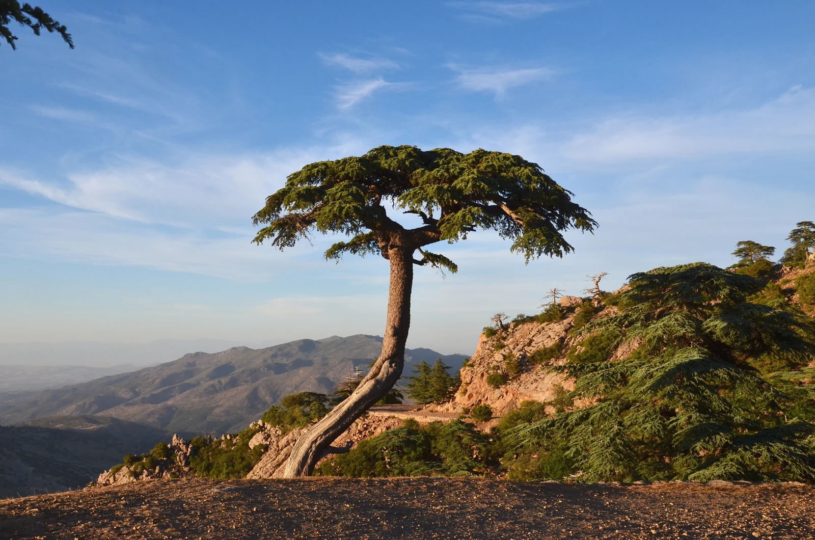
The geolocated photograph at 35.8653 N, 1.9336 E, taken on 22 May 2015 by Brahim Djelloul, shows an Atlas cedar standing on a rocky ridge in the park, before the slopes of the massif.
Dieback, drought, and forest dynamics
A study by Sarmoum, Navarro-Cerrillo, and Guibal published in 2019 compared the growth rings of healthy and declining trees across six stations distributed through the forest, combining this comparison with an inventory of altitude, slope, aspect, and defoliation rate of the declining trees. The results show that dieback is most pronounced at the lower forest limit, on steep, warm, and strongly sun-exposed slopes.
The study identifies the regional drought of 1980 to 2002 as an aggravating factor, in interaction with the ageing of the stands. The authors stress the multifactorial nature of the phenomenon: neither drought nor tree age alone constitutes a sufficient explanation for the dieback observed at these stations.