
Remnant Summit Plateaux and Recorded Elevations
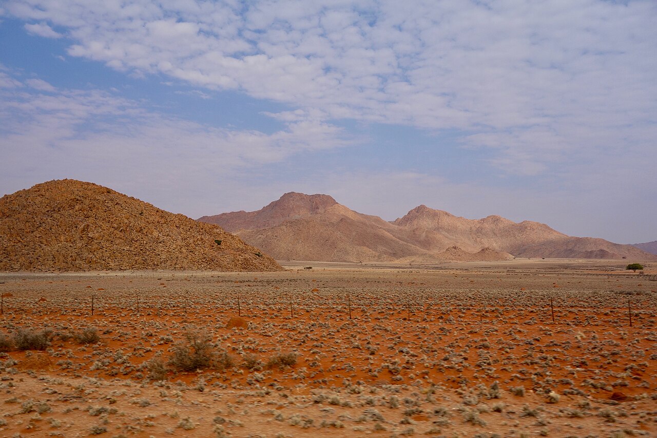
Field mapping by the Geological Survey of Namibia identifies remnant flat summit surfaces across the range, interpreted as relict erosion levels preserved on resistant basement rock. Surveyed elevation points of 1867 m and 1929 m appear within the studied sectors of the range, illustrating the relief that separates these massifs from the surrounding plains.
Late Quaternary Sand Ramps at the Tiras Basin Margin
A geological field study of late Quaternary sand ramps in southwestern Namibia documents deposits abutting the rocky slopes of the Tiras basin margin. These ramps form where windblown sand accumulates against hillslopes and is stabilised by slope processes, producing bodies with layered sediment stratigraphy that record episodes of aeolian activity along the desert edge.
Habitat Transitions and Documented Succulent Flora
The Geological Survey of Namibia pamphlet describes transitions among desert, succulent steppe, and dwarf-shrub savanna across the range. World Flora Online records Tiras localities for Duvalia maculata, a stapeliad succulent, representing the documented succulent flora associated with these habitat gradients along the Namib margin.