
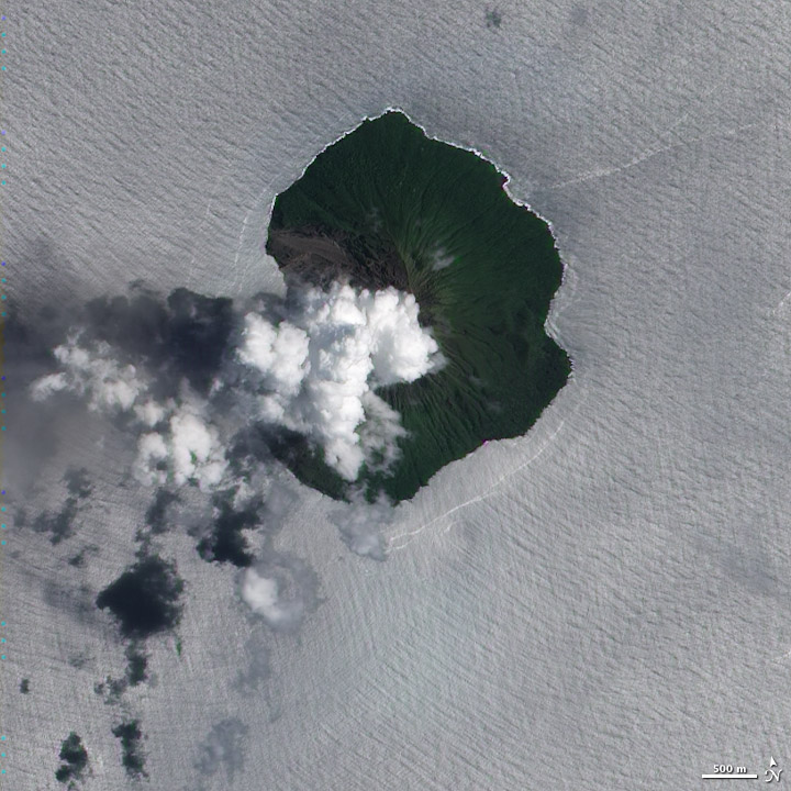
Geomorphology of the Northwest Scarp
In 1965 landslides enlarged the existing scarp on the northwest flank and formed a small bay along that coast. The event extended the breach already running from the crater rim through the flank into the sea, reshaping the shoreline in the process.
Eruption and Evacuation
A 1971 eruption prompted the evacuation of the island's population. This episode is recorded as a distinct occurrence, separate from the 1965 geomorphic changes to the northwest coast.
2017 Activity and Instrument Deployment
Activity in 2017 was detected remotely as a plume of ash and sulphur dioxide. Field teams arrived in early November of that year and deployed seismic instruments on the island, establishing ground-based monitoring infrastructure in response to that eruptive episode.