
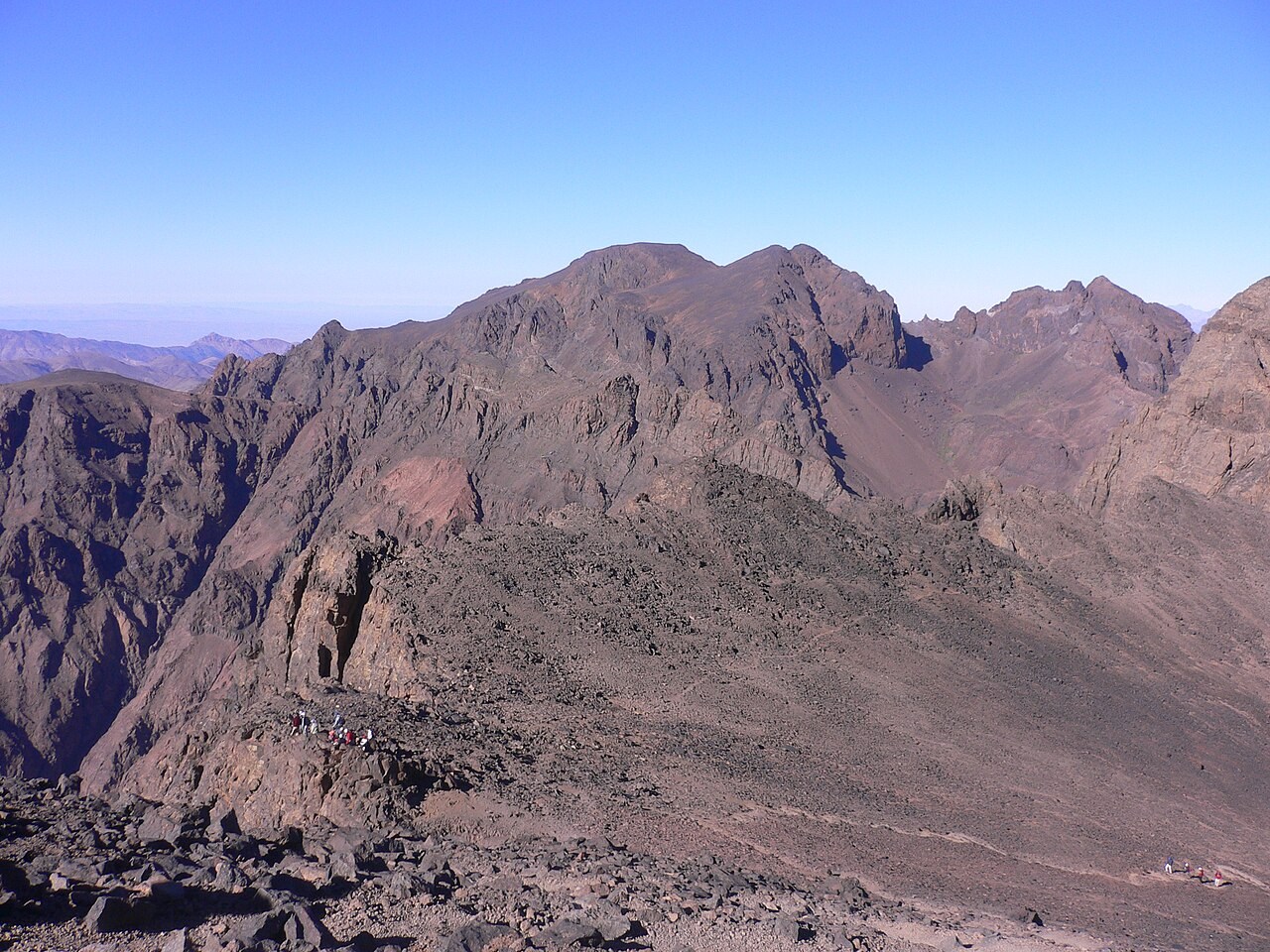
A Plateau Crest Shaped by Prolonged Erosion
The Toubkal National Park management plan describes Ouanoukrim's elevated ridgelines as products of long-term uplift and erosion acting across the High Atlas. That sustained planation accounts for Timzguida's broad, flattened crest, which contrasts with the more incised terrain lower on the massif. The Alpine Journal's High Atlas summit table, compiled by Hamish Brown, records the twin tops of Ouanoukrim at approximately 4,088 m and 4,080 m, figures that reflect survey-period approximations rather than any inherent ambiguity in the landform itself.
Hard Volcanic Rocks of the Ouanoukrim Massif
The park management plan identifies the high summits of the massif as composed predominantly of hard dark volcanic rocks, with andesites and rhyolites present regionally across the High Atlas. This resistant geology has allowed the upper ridges to endure differential weathering over geological time, preserving the elevated plateau surface that defines Timzguida's summit zone. The GeoNames database records Timesguida n'Ouanoukrim as the accepted variant name for this southern high point.
Tizi n'Ouagane and the Northern Snow Patches
At 3,745 m, Tizi n'Ouagane is a mountain pass connecting the Ouanoukrim side of the massif toward a peak south of Tizi n'Ouanoumss, distinct from the saddle separating Timzguida and Ras. Hughes et al., writing in Mediterranean Geoscience Reviews, mapped north-facing cirques and long-lying snow across the High Atlas and documented snow patches on the northern aspect of this pass that can persist into August, though a field observation in August 2016 recorded the patches absent at that time.