
The night of 1 September 1730
The account attributed to the parish priest of Yaiza, Andrés Lorenzo Curbelo, describes the beginning of the eruption in 1730 and the advance of lava flows through the environs of Timanfaya, Rodeo and Mancha Blanca. At first the lava ran quickly and then slowed. In 1731 and 1732, families from the surrounding area abandoned the zone.
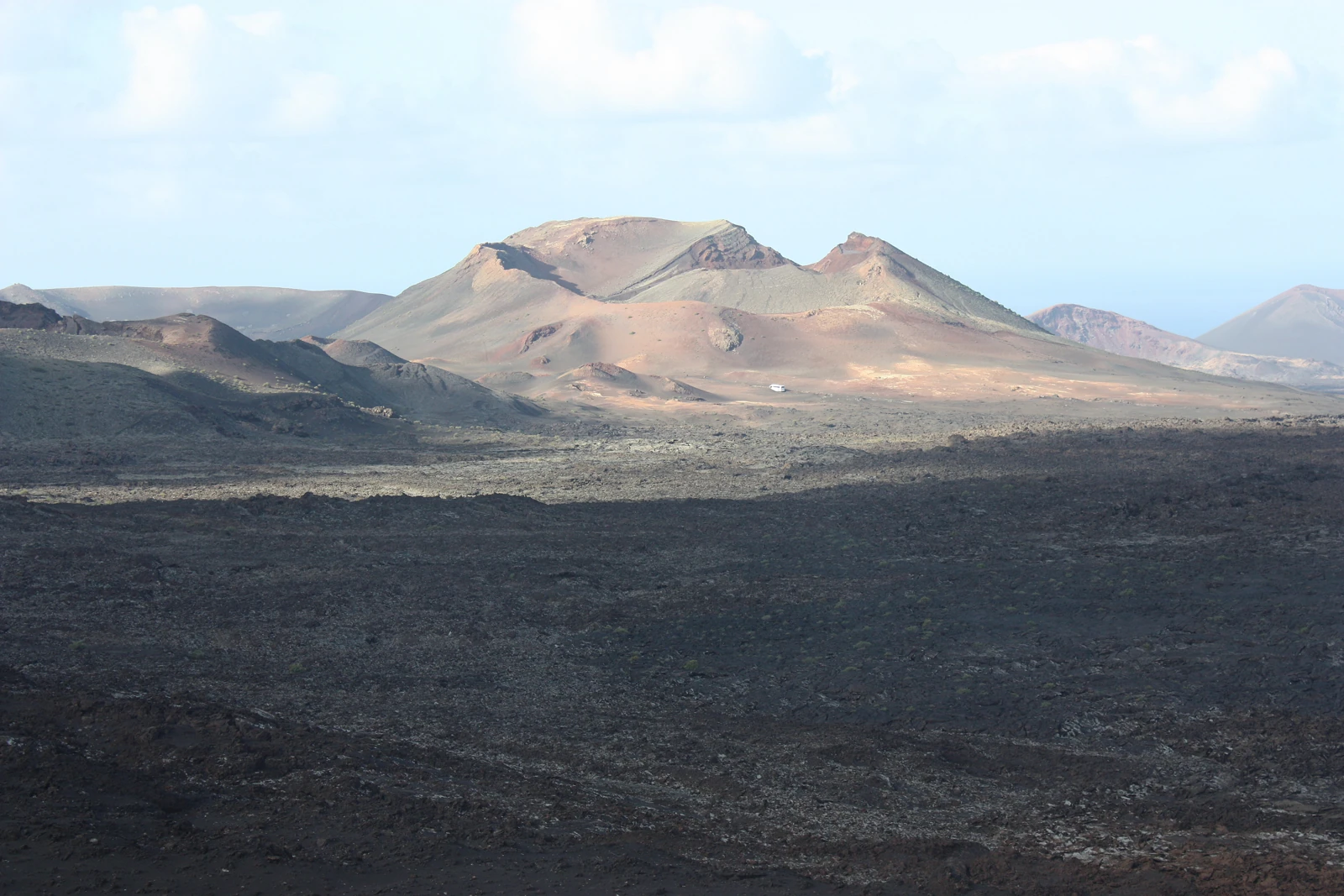
Activity continued until 1736. As new vents opened along the fractures, the lava flows crossed land that had been used for living and farming. In the present-day landscape, cinder cones, block lava flows and lava tubes can be identified.
The three vents of 1824
The parish priest Baltasar Perdomo recorded the 1824 episode at Tao, Tinguatón and the Volcán Nuevo del Fuego, also known as Chinero. The Chinero is the only vent from that eruption located within the boundaries of the national park.
Heat beneath the rock, lichens on the lava
Anomalous temperatures near the surface have been measured at the Islote de Hilario. Geodetic and geophysical surveys of the park allow the structures hidden beneath the lava flows to be studied. On some rocks, lichens reveal one of the earliest stages of colonisation of volcanic materials.
The Timanfaya park
The decree of 9 August 1974 created the national park and a 1981 law reclassified it. Its perimeter protects the Mountains of Fire and part of the lava flows that spread across the west of the island.