
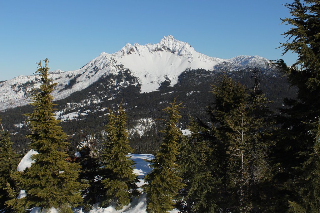
Dikes, Pyroclastics, and a Ragged Summit
The mountain began as a basaltic-andesite shield, and what remains at the summit is a pyroclastic cone reinforced by radial dikes—bodies of magma that cooled and solidified within fissures radiating outward from the vent. These dike systems buttress sections of the peak, and their resistance to erosion accounts for the sharp, irregular ridge. The Global Volcanism Program identifies this structural pattern as central to the peak's distinctive profile.
A Moraine Dam and the 2012 Debris Flow
Glaciers that once covered the mountain's flanks left behind moraines, ridges of material deposited at the margins and terminus of the ice. One of these natural dams impounded a lake on the peak's flank until 2012, when the dam failed. USGS documented the breach: the lake level dropped by approximately 2.8 meters, releasing an estimated 12,700 cubic meters of water. The resulting debris flow carried rock and sediment downstream, with the water discharged at the breach point distinct from the debris transported as the flow traveled downvalley.
Volcanic Neighbors at Santiam Pass
Three Fingered Jack sits within a broader volcanic landscape. Near Santiam Pass, the Global Volcanism Program identifies Hogg Rock Butte as a separate volcano, one formed under ice rather than through the eruptive sequence that built Three Fingered Jack. The two landforms share a region but reflect different volcanic processes and histories.