
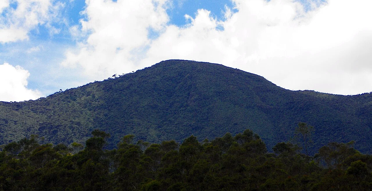
Northeastern Position and Naming
The UNESCO World Heritage nomination for the Central Highlands, submitted in 2010, identifies the summit under the alternate spelling Totapolakanda. Kirigalpoththa, situated to the west, reaches 2,395 metres. Sri Lanka's Ministry of Education mapping renders the summit as Thotapola and records an elevation figure differing from the 2,357 metres given in the nomination document.
Regional Geology and Vegetation
The Central Highlands of Sri Lanka are composed of ancient metamorphic rocks, including charnockite gneisses, at a regional scale. Horton Plains National Park spans a transition between open plateau grassland and cloud forest, an ecological range reflecting the altitude and orographic conditions of the highland interior.
UNESCO Serial Inscription
UNESCO's 2010 serial World Heritage inscription covered the Central Highlands through three component areas: Horton Plains, the Knuckles Range, and Peak Wilderness Sanctuary. The nomination identifies the plateau's conservation values in terms of endemic biodiversity and montane ecosystem integrity, with Thotupola Kanda marking the northeastern extent of the protected plateau.