
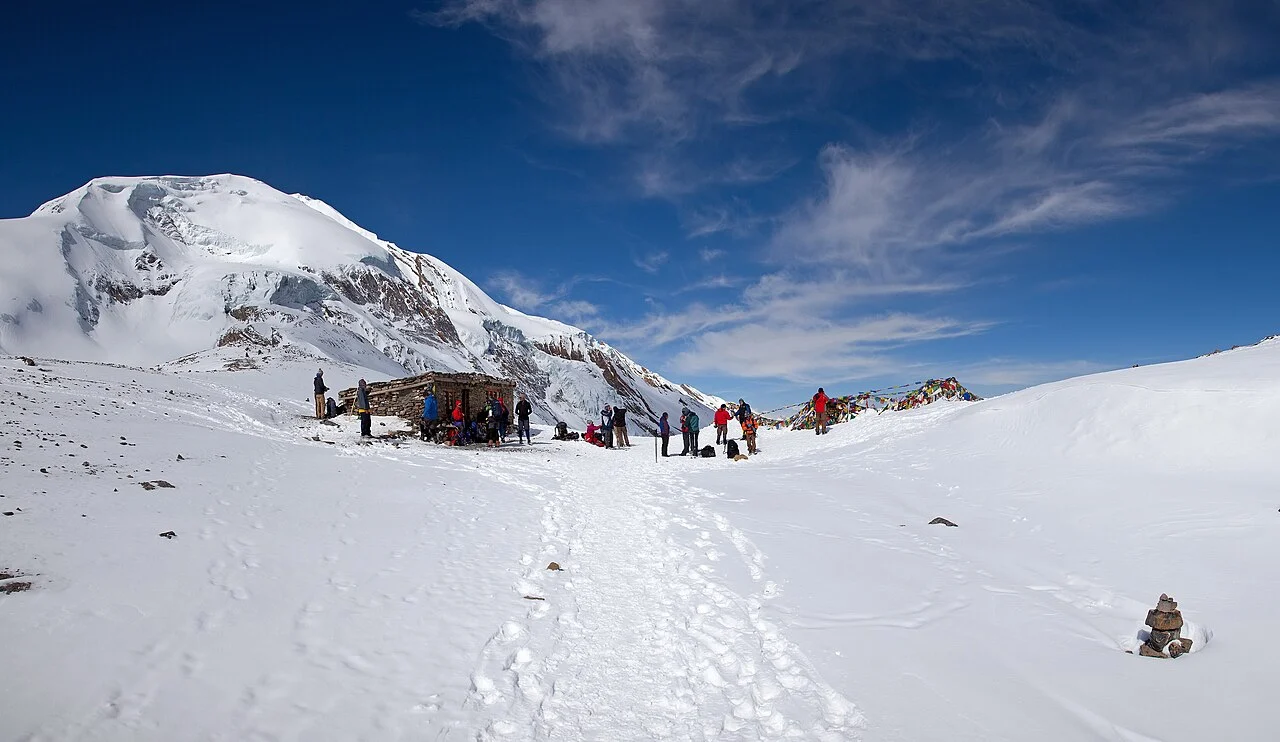
Government Register and Summit Elevation
The Nepal Department of Tourism's 2025 national mountaineering table records Thorong Peak at 6,144 metres, assigning it the Himalayan Database identifier THOR. The 2025 report incorporates ascents recorded through 2024, reflecting continued activity on the peak across the northern Annapurna flanks.
Thorong La Pass and Nearby Terrain
Thorong La, at 5,416 metres, is a distinct col crossed between the Marshyangdi and Kali Gandaki drainages on the Annapurna Circuit. Thorong Peak stands as a defined summit above that pass threshold, sharing a name with the high valley while occupying a separate geographic position alongside Yakawa Kang.
Himalayan Database Expedition Record
The Himalayan Database records expedition THOR07301 on 8 November 2007 as the earliest successful ascent in its files. The party comprised Satoru Endo, Mikio Iga, Terue Katakura, Mitsukuni Oka, Rikio Takahashi, and Hiroshi Yumoto, with high-altitude staff Gadjet Bis Gurung, Ang Dawa Tamang, Hit Bahadur Tamang, and Pasang Tamang.