
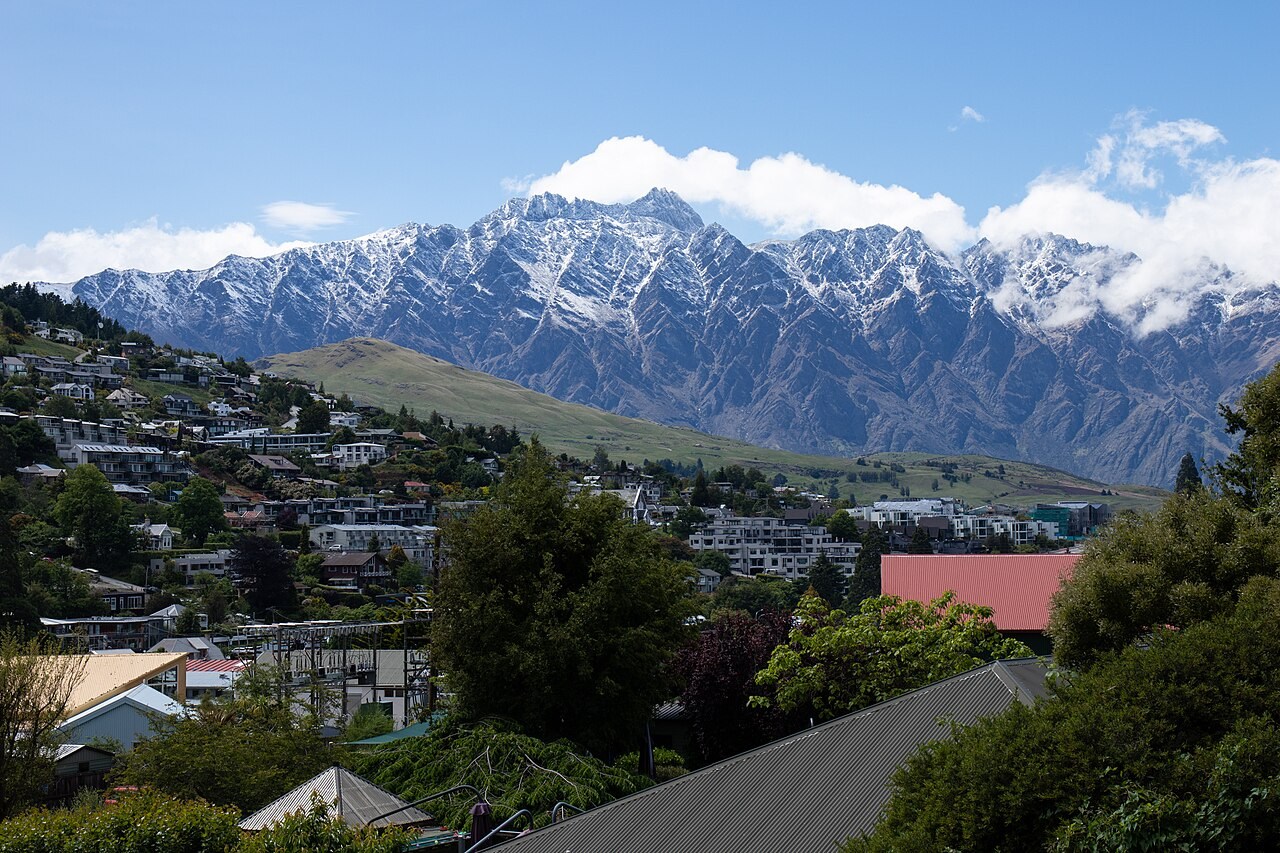
Landform and High Point
Double Cone is the range's highest point at 2,319 metres, a figure recorded in the Department of Conservation's landscape assessment. The range is composed largely of schist, whose fractured faces produce the serrated ridgeline visible from the Queenstown basin. Lake Alta occupies a glacially carved basin within the conservation area below the summit ridge.
The Name Kawarau
The Department of Conservation records Kawarau as the traditional Māori name for the range, while the same word also names the river to its north. DOC treats the range, the river, and individual summits as distinct geographic entities. The range is formally listed under its dual designation in the New Zealand Gazetteer.
Conservation Landscape
The range is administered as the Kawarau / Remarkables Conservation Area. A landscape assessment commissioned by DOC evaluated the visual character of the Double Cone area and surrounding terrain, framing the full vertical sequence from valley floor to ridge — including rock faces, snowfields, and the lake basin — as the meaningful unit of the landscape.