
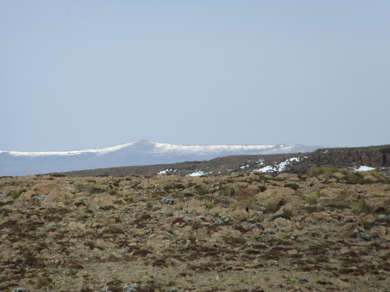
Summit and Highland Terrain
The eastern Maloti highlands are characterized by what Lesotho's national climate communication describes as bare rock outcrops, valleys, and gorges — terrain that alternates between exposed ridge and deeply incised drainage channels, with the summit standing as the apex of that relief.
Sani Pass is a dramatic escarpment crossing that links the eastern highlands of Lesotho with the KwaZulu-Natal province of South Africa. The surrounding mountain region is also home to Thabana Ntlenyana, the highest summit in Lesotho.
The Maloti–Drakensberg Landscape
The wider Maloti–Drakensberg landscape spans Lesotho and South Africa and is recognized by UNESCO for its mountain grasslands, escarpments, and river valleys, as well as for the transboundary conservation of San rock art concentrated across the region. The regional grasslands, gorge systems, and rocky outcrops documented in Lesotho's national reporting define the terrain of the highland belt to which Thabana Ntlenyana belongs.
National Elevation Record
Lesotho's national communication to the UNFCCC records the 3,482 m figure as the country's high point, situating it within formal national reporting rather than informal geographic tradition. Most habitation in Lesotho already occurs at elevations that would be considered exceptional elsewhere on the continent, and the summit represents the upper bound of that sustained highland character.