
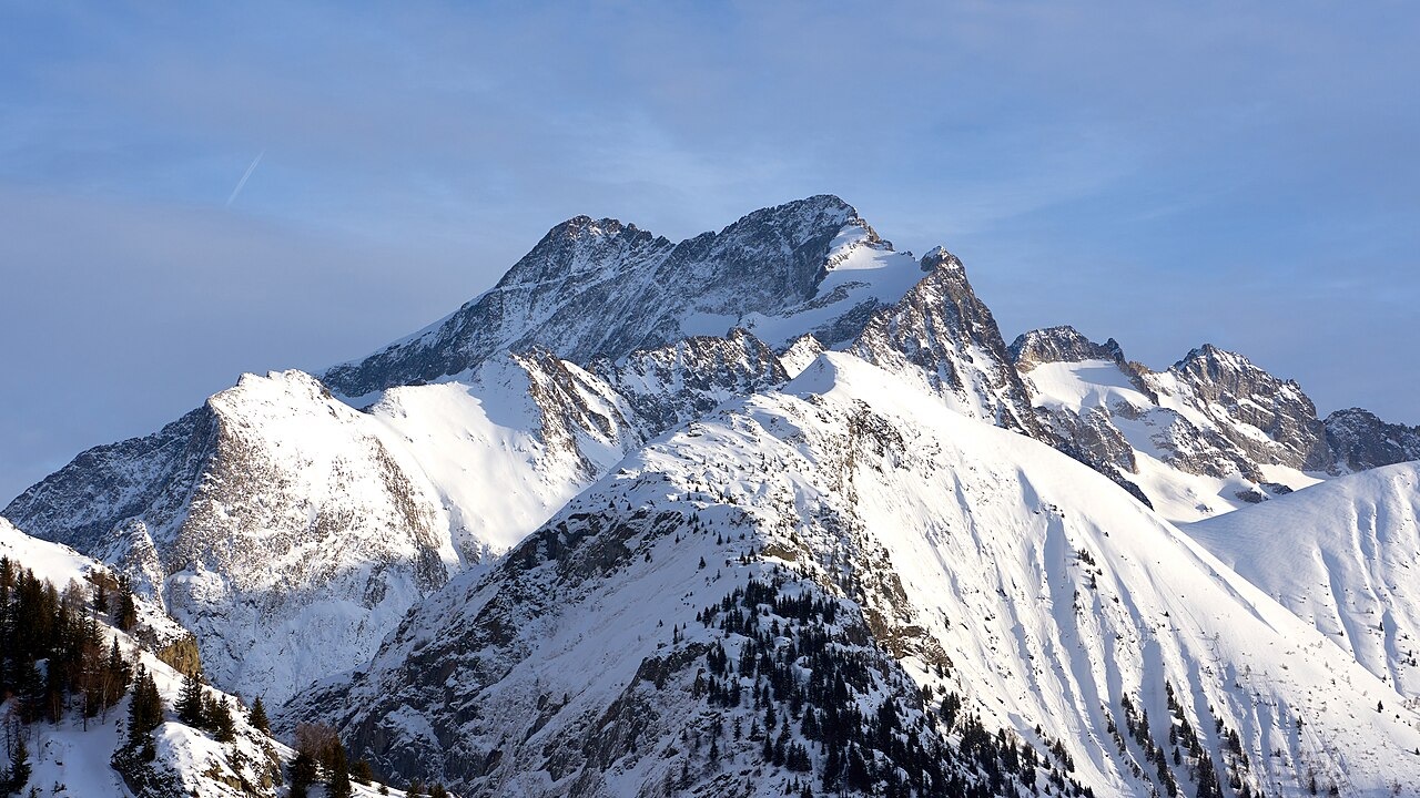
Glacier-Carved Ridge and Layered Rock
Geologist Maurice Gidon of Université Grenoble Alpes mapped the Lauranoure chain as a north–south ridge visible across the Vénéon, with three small glacial cirques above the Alpe du Pin. The eastern flank sits within the Muzelle–Font Turbat granite body, enveloped by surrounding gneisses. On the southeast face, toward the Mariande side, a small bowl cut into granite holds Lac du Solude, eroded more deeply there than in the adjoining gneiss.
Below the summit, the Pierroux glacier feeds the Froide Pisse waterfall, a cascade that descends visibly through the lower terrain. An educational trail in the area uses story boards to interpret the broader landscape across the Vénéon from fixed overlooks on the alpine pasture below.
Two Summits and the 1880 Expedition
The 1880 volume of the Alpine Journal, pages 91 to 93, records the mountain under the spelling Loranoure and describes it as it appeared from Saint-Christophe: a conspicuous pyramid that looked higher than the jagged ridge behind it. On 1 August 1880, W.A.B. Coolidge and the two Almers climbed that prominent lower peak, where they found a ruined cairn and fragments of a pole. At the top they could see a higher point to the southwest across a jagged connecting ridge. The journal records that A. Carbonnier and C. Rabot had reached the lower peak on 18 August 1878 and found an envelope bearing an 1867 Grenoble postmark. The historical survey associated the lower summit with an elevation of 3,299 metres.
Three days after their first reconnaissance, on 4 August 1880, Coolidge and his companions returned and climbed to the highest point. The journal also credits Carbonnier with an earlier ascent of that high peak on 5 August 1879, placing his visit to the main summit a full year before the 1880 party arrived.
The Alpe du Pin Refuge
At 1,805 metres on the alpine pasture of the Alpe du Pin, a modest refuge was built in 1947 and is owned by the Association Les Jarrets d'Acier. It stands on a bench that the 1880 expedition narrative described as foreground landscape on their approach, though the hut itself came into existence decades after those climbs. The Écrins National Park positions the refuge directly beneath the 3,325-metre summit and includes it in published trek itineraries through the Vénéon.