
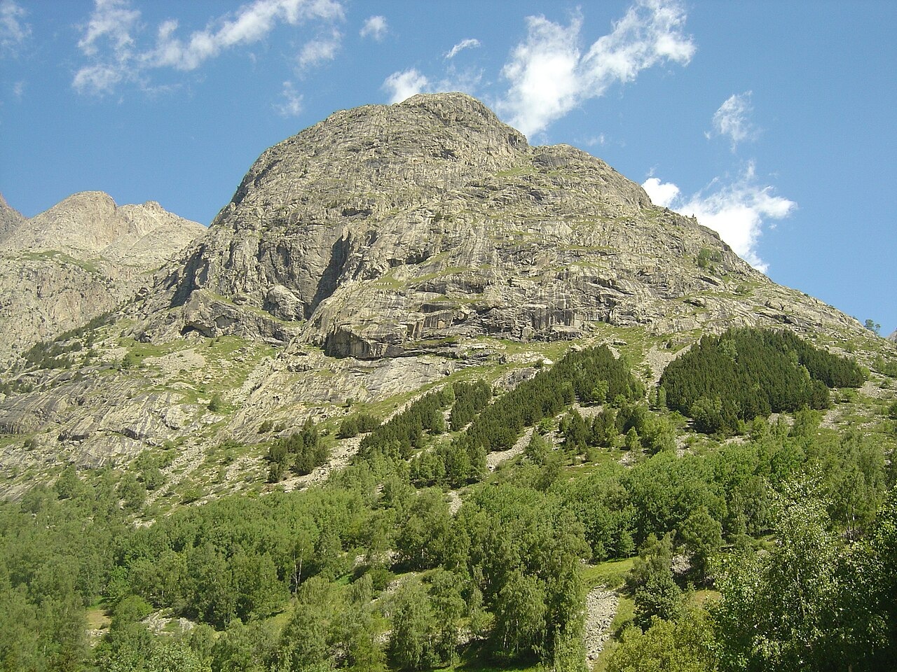
A Shoulder Carved by Ice
Romain Delunel's 2010 doctoral dissertation in geomorphology from the University of Grenoble identifies Tête de la Maye as a feature of the Bérarde granite, positioned as a shoulder near the former confluence of the Étançons and Pilatte glaciers. Delunel distinguishes the glaciers by topography, identifying the east slope as worn by the Étançons glacier and the south slope as worn by the Pilatte. Abraded bedrock samples and a glacially transported block near the summit illustrate former ice action and contribute to dating its retreat. Separately, the Écrins National Park geological inventory records field observations made along the path up the Maye establishing that the Bérarde granite was emplaced after the older Étages granite unit.
A Documented Panorama
In the Club Alpino Italiano's 1905 periodical, a writer identified as F. Mader describes an ascent from La Bérarde, with 20 August noted, to survey the surrounding peaks. From the summit he compared the silhouette, face character, and flank ice of the Meije with those of the Serra dell'Argentera as seen from the west, emphasising similarities in the height, character, and colouring of the visible faces while identifying contrasts in the individual pinnacles and ice formations between the two massifs. An orientation table at the summit provides a named panorama over the surrounding terrain, as described by the Oisans tourist board.
Instructional Ground and Institutional Agreement
Écrins National Park lists the lower south side of the Maye among its designated climbing-school sites and includes it in a programme of fourteen alpine instruction areas within the park. In 2022 the park issued a specific works decision for a mountaineering initiation route on the Maye, requested by the Bureau des Guides de la Bérarde, formalising the site's role in structured instruction. On 5 July 2022, in La Bérarde beneath the Maye, the National Park, the guides bureau, and other local representatives signed an updated collaborative agreement covering climbing, mountaineering, and canyoning across the massif — the original version of which dates to 1992, with a prior update in 2012 — with the stated aim of reconciling mountain recreation with the preservation of the range's wild character.