
Southwest Ridge Reconnaissance
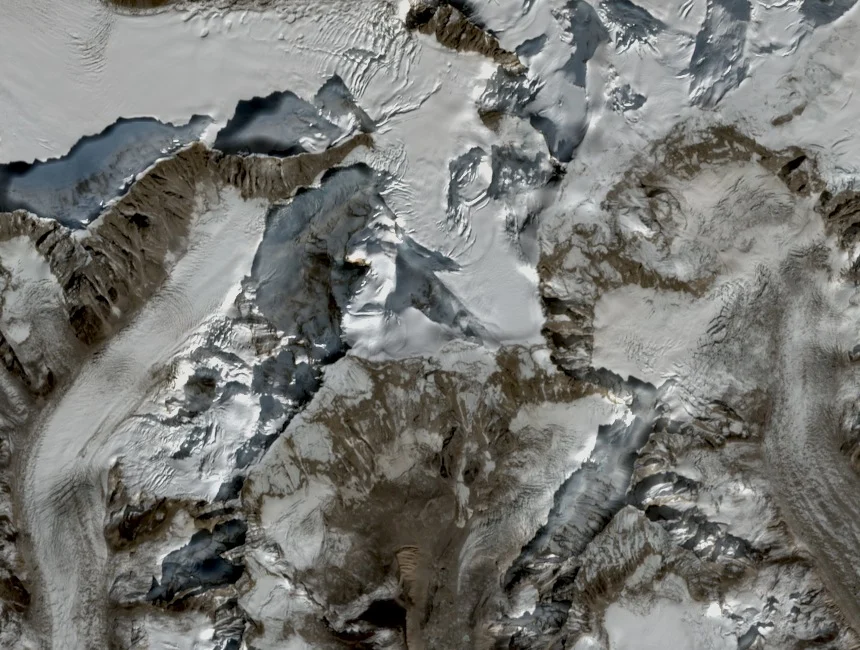
In 2001, Hideaki Yoshinaga led a Chiba University research party along the Tarina glacier moraine toward the southwest ridge. On 12 October the team reached 5,600 metres below that ridge, gaining direct observation of the upper mountain's structure from the glacier approach.
North Face Photographs
Kinichi Yamamori and Iwazaki crossed Tse La in 2000 and photographed Teri Kang's north face, with Yamamori's account subsequently published in the American Alpine Journal. That publication carried the 7,125-metre elevation figure and appeared in a year after the 2000 expedition.
Tarina Glacier Setting
The Tarina glacier extends below Teri Kang's flanks within Lunana district, a landscape of glacial lakes, braided meltwater rivers, and active glacier termini. Tsenda Kang and Tongshanjiabu occupy the same high glacial terrain and appear alongside Teri Kang in northern Bhutan expedition literature.