
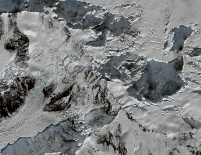
Summit and group
Harish Kapadia's accounts in the Himalayan Journal give the elevation of Teram Kangri I as 7,462 metres, the highest figure in the group. Historical sources have also recorded 24,489 feet. The 1938 Karakoram Conference report, published in the Himalayan Journal, documented the separate naming conventions and distinct heights of the individual Teram Kangri summits. The mountain lies in the eastern Karakoram near the upper Siachen Glacier; the surrounding border area is disputed and does not admit a simple territorial description.
Japanese first ascent, 1975
The first ascent of Teram Kangri I was made by a Japanese expedition in 1975, led by H. Katayama, which approached via Bilafond La. The same expedition also climbed Teram Kangri II. Kiyokazu Yamashita's published account is listed by the Japanese Alpine Club, and the Shizuoka Prefectural Library catalogues an expedition monograph produced by the Shizuoka University Alpine Club. Teram Kangri III was first climbed in 1979 by a separate Japanese expedition and should not be conflated with the 1975 ascents.
Watershed position
Teram Kangri I rises on a high crest that, as the geologist Ardito Desio describes, separates the Shaksgam drainage on its north side from the Siachen Glacier basin to the south. It is part of the Teram Kangri group in this portion of the eastern Karakoram. This watershed position defines the peak's geographical context within the range.