
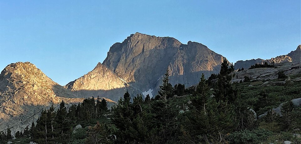
Summit and Neighboring Terrain
Temple Peak and East Temple Peak occupy separate positions in the southern Wind River Range and should not be conflated. The two summits are divided by the terrain around Temple Lake, and East Temple Peak carries its own distinct rock face facing away from the main peak.
Glacial Landforms of the Northern Basin
The Geological Society of America field guide identifies Miller and Temple lakes as sitting within a formerly glaciated basin north of the peak, where successive debris ridges mark the type locality of what geologists call the Temple Lake glacial deposits. These ridges record distinct episodes of moraine building rather than a single continuous ice stand, and the name Temple Lake applies both to the body of water and to this stratigraphic unit.
Sediment Record and Ice Retreat
A lake core study by G. A. Zielinski compared sediment sequences with moraine positions to reconstruct the order of ice retreat and deposition across the basin. Because each moraine ridge preserves evidence of a separate glacial episode, no single age applies uniformly to all deposits; the sequence must be read as a layered chronology rather than a single event.