
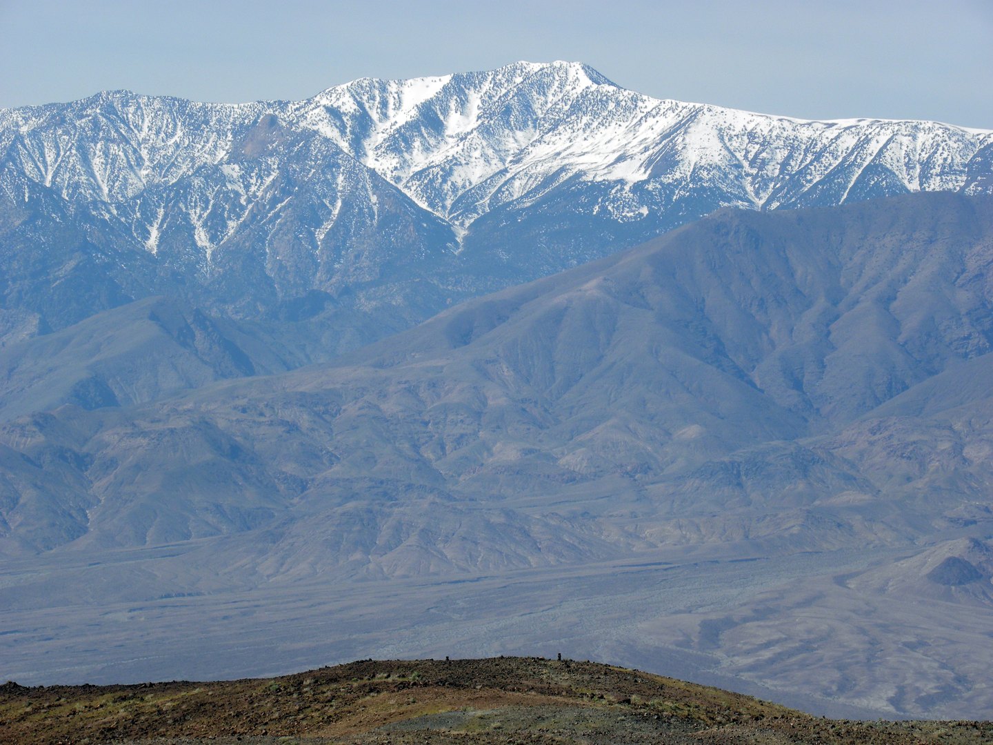
A Landscape Shaped by Faulting
The topography here reflects the tectonic forces that formed the broader Basin and Range province. Regional extension caused mountain blocks to rise while adjacent basins subsided, producing the elevation difference between Telescope Peak's crest and the salt flats visible far below. The mountain's flanks carry pinyon and mountain mahogany in lower stands, grading upward into ancient bristlecone pines near the summit zone.
Valley History and Early Presence
Recorded human history in the surrounding landscape extends at least into the late nineteenth century. Alexander Zachariah Borden, a prospector associated with the valley in the 1880s, is linked to a well situated below the peak. The National Park Service preserves a 1934 photograph taken from Hanaupah Canyon, showing the mountain from the valley approach.
Position Within Death Valley National Park
Telescope Peak is the highest point within Death Valley National Park and the apex of the Panamint Range. Badwater Basin lies to the east of the range and Panamint Valley to the west, placing the peak between two distinct desert lowlands that together define the park's central geography.