
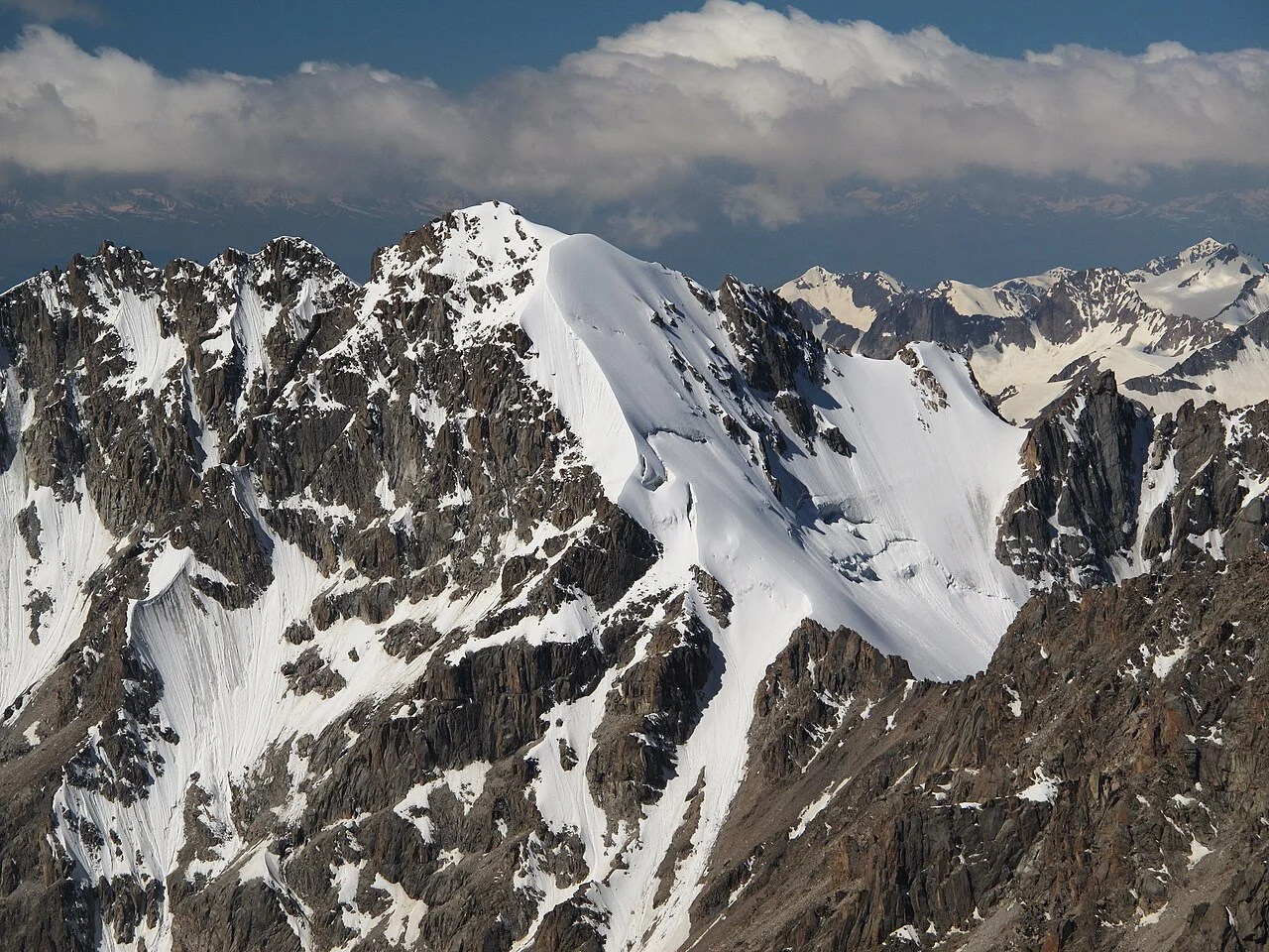
Soviet-Era Routes on the Southeast and North
The Russian Mountaineering Federation records a southeast route attributed to P. Romanenko in 1949 and a north route attributed to E. Mukhamedova in 1957, drawn from the Soviet-era classification for Ala-Archa. The Kyrgyz Alpine Club also catalogues Teke-Tor in its survey of Kyrgyzstan's mountaineering regions, placing it among the named peaks of the Ak-Sai corridor.
Korean Light Way on the Northeast Face, 2012
On 9 July 2012, Ahn Chi-young, Kim Kyoung-rae, and Lee Ki-geun of a Korean team opened Korean Light Way on the northeast face. The route ran sixteen pitches to the left shoulder of the peak, with the final section to the summit continuing beyond that pitch count. Lightning and hail briefly halted the team during the ascent. They reached the summit just after 9 p.m. and returned to base camp approximately 36 hours after leaving it.
Ak-Sai Cirque
Teke-Tor's northeast face rises above the Ak-Sai Glacier cirque in the Ala-Archa range, with a rocky ridgeline defining the upper peak. The lower stretches of the face carry snow and ice before the terrain steepens into mixed ground, leading to a rocky upper section.