
Geological Structure
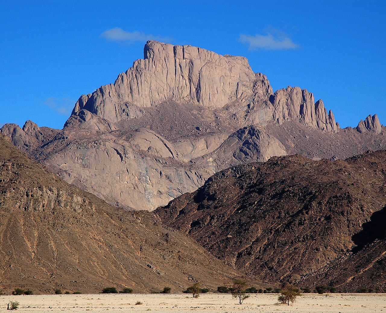
Geological mapping by Amara et al., combining fieldwork, remote sensing, and magnetic data, interprets the Tefedest as recording more than one phase of folding and shearing. This polyhistoric tectonic signature distinguishes it within the wider Ahaggar region. The granitic outcrops that form the massif's surface expression are the visible product of that structural history, shaped by erosion into the recessed faces and overhangs that characterise the landscape. Because the Tefedest is a massif rather than a discrete summit, the elevation figure of 2,336 metres refers specifically to In Akoulmou, named in Algeria's submission as the culminating point.
Rock Shelters and Prehistoric Figures
Algeria's 2025 tentative submission records close to 200 rock shelters across the Tefedest containing at least 2,500 engraved and painted figures. Distinct habitation sites date to about 10,000 years ago. The granitic overhangs and recessed faces provided both the physical surface for the imagery and conditions that aided its preservation. No uniform age applies across all shelters, and the inventory represents documented figures rather than an exhaustive count. As of 2025 the Tefedest Massif appears on UNESCO's Tentative List as part of the Ahaggar Cultural Park submission and has not been inscribed.
Names and Named Points
The name Tefedest applies to the massif as a geographic and geological whole. Algeria's submission distinguishes two named points within it: In Akoulmou, the high point at 2,336 metres, and the separate northern summit Oudane, also recorded under the designation Garet Edjnoun. These named points give locational precision to a landform whose 120-kilometre extent resists reduction to a single coordinate.