
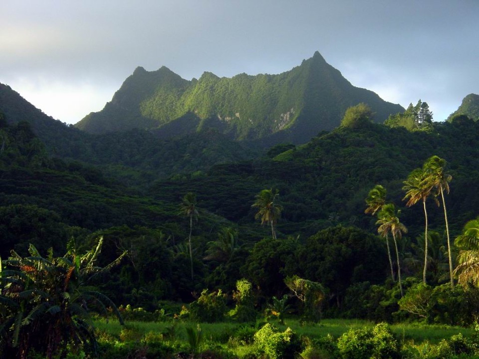
Volcanic Origins and Erosional Form
The Cook Islands National Environment Service conservation plan distinguishes the volcanic processes that built Rarotonga's interior from the prolonged erosion that carved its current relief. Te Manga represents a remnant high point reshaped by erosion rather than a surviving original vent, giving its ridgelines a sharpness distinct from less eroded oceanic volcanoes.
Cloud Forest and Plant Communities
The upper slopes of Te Manga fall within a cloud-forest zone addressed by a Cook Islands National Environment Service management plan for Rarotonga. Among the species the plan records for Te Manga is Coprosma laevigata, reflecting the summit's role as habitat for plants adapted to persistent moisture and reduced temperatures.
Relationship to Neighbouring Summits
The Cook Islands Natural Heritage Trust has discussed Te Manga alongside Te ʻAtukura and Te Koʻu as separate summits that might together form a contiguous cloud-forest reserve. That discussion represents a conservation proposal rather than an established legal designation, and the three peaks remain distinct topographic features whose collective management is still under consideration.