
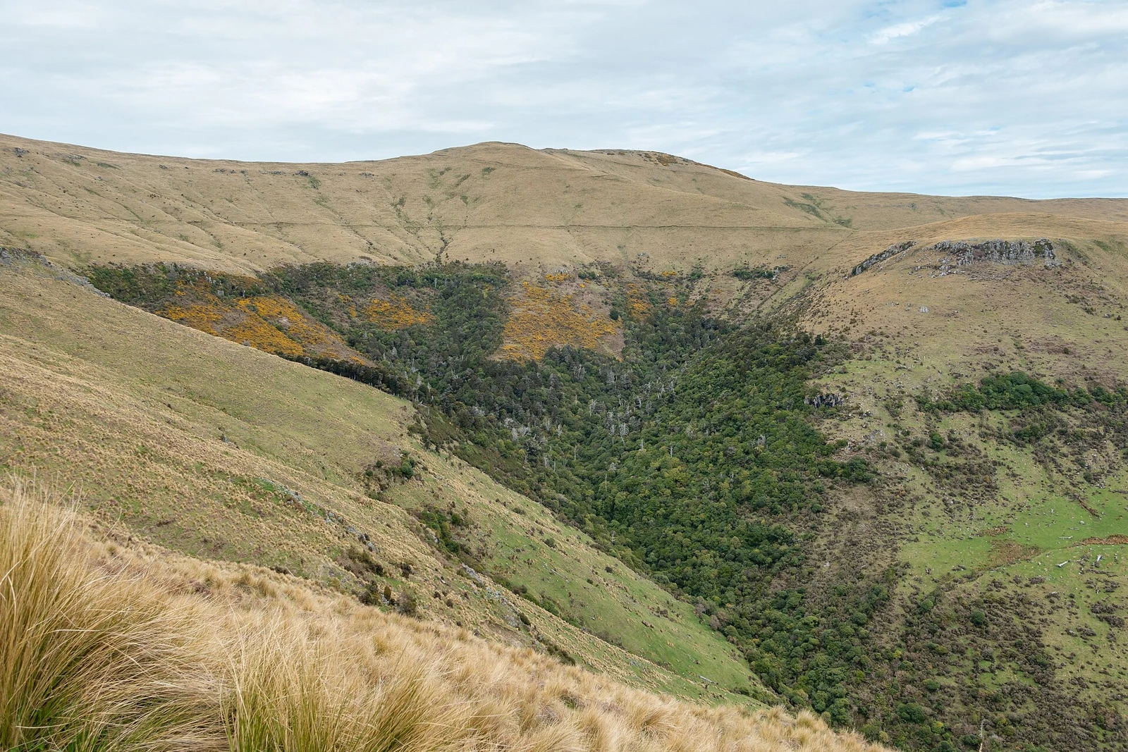
A summit shaped by late Miocene volcanism
The mountain belongs to the Mount Herbert Volcanic Group, a sequence mapped and field-dated by R. J. Sewell in 1988. Sewell placed this group between approximately 9.7 and 8.0 million years ago, making it younger than the main Lyttelton volcanic group that forms the older core of the peninsula. The layered volcanic stratigraphy of the central peninsula, as recorded in Sewell's geological map and University of Canterbury thesis, defines the ridge system on which the summit sits.
The dual official name reflects a naming history that required formal correction. The New Zealand Geographic Board reassigned the name Mount Herbert from a lower adjacent summit to the higher Herbert Peak in 1973, with the lower point subsequently gazetted as Mount Bradley. The current dual name Mount Herbert/Te Ahu Pātiki, combining the English designation with the Māori place name, is recorded in the LINZ gazetteer at the 919 m summit coordinates.
Te Ahu Pātiki and human presence on the peninsula
Christchurch City Libraries records a fortified Ngāti Māmoe pā associated with Te Ahu Pātiki and describes it as possibly the oldest pā on the peninsula, though that seniority claim is presented as uncertain. The Kā Huru Manu cultural place-name atlas maintained by Te Rūnanga o Ngāi Tahu documents Te Ahu Pātiki within its record of Ngāi Tahu place names and their geographic contexts across the South Island.
Conservation tenure and early regeneration
On 1 July 2021 the Rod Donald Banks Peninsula Trust took possession of approximately 500 hectares spanning both Mount Herbert/Te Ahu Pātiki and the adjacent Mount Bradley block, following a local fundraising campaign. A QEII National Trust open-space covenant protects the land, and easements recorded in the 2021–22 Herenga ā Nuku annual report secure public access across eight tracks. Governance responsibility passed to a charitable trust involving local mana whenua and neighbouring partners.
By October 2024 Environment Canterbury was reporting the first signs of native forest regeneration on the crowd-funded land, an early indicator of ecological change on the upper slopes since the trust's establishment.