
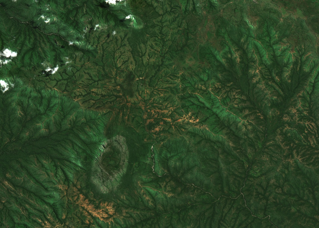
Ravine Forests and Stream Valley Ecology
Gallery forests line the ravines that cut between Gangdaba's ridges, sustained by watercourses including Mayo Dalan and Mbi Yirké. Alluvial soils accumulate along these streams, supporting denser vegetation than the slope communities above. The weathered red and yellow soils of the upper slopes reflect long-term rainfall and gradual mineral leaching across the terrain.
Prunus africana and the Gangdaba Allocation Unit
The slopes support populations of Prunus africana, the highland tree known commercially as pygeum, whose bark is harvested as a non-timber forest product. The Cameroon Ministry of Forestry and Wildlife established the Gangdaba Prunus Allocation Unit in 2012 to regulate this harvest. A ministry field report from 2018 tracked bark extraction levels and the distribution of gallery forest within the unit, providing a baseline for ongoing management.
Forestry Monitoring and Research Record
The University of Amsterdam's mapped study of Cameroon non-timber forest products, led by researcher Ingram, included Gangdaba among sites where Prunus africana extraction and forest cover were assessed. The Cameroon Ministry field report, submitted to the CITES Secretariat, documents the allocation unit's boundaries and species distribution, forming the principal institutional record for this terrain.