
Topography and Early Climbing Record
Hamish Brown's 2002 account in the Alpine Journal places the plateau in the valley immediately west of Toubkal and records its high point at 3,980 m. Where the summit plateau ends, the northern edge breaks into tight couloirs and exposed rock faces. Historical Basque mountaineering records in Pyrenaica no. 137 document the Tazarhart snow couloir as a recognised climbing feature and place the former Lepiney refuge at roughly 3,000 m, establishing that the approaches to the plateau have drawn visiting climbers for generations.
Late Pleistocene Ice Fields
George Hannah and colleagues reconstructed the glacial history of the Tazaghart and Iouzagner plateaus as a combined system. The ice field that covered both plateaus together extended to more than 25 square kilometres during the Late Pleistocene. Ice drained away through outlet glaciers, and moraine ridges visible in the landscape today mark earlier margins of those glaciers. Valley glaciers descended to around or below 2,000 m elevation during their maximum extents.
The Tazaghart Névé Permanent Snow Patch
Philip Hughes and colleagues measured the lower part of the Tazaghart Névé Permanent snow patch in September 2019 and found it covered approximately 2,540 square metres, with its lower edge at 3,346 m. That location is distinct from and well below the 3,980 m high point. April 2012 photographs show snow filling much of the hollow at the same site, though September 2019 and April 2012 are different seasons and the two observations do not establish a long-term trend. Published observations also record years in which the patch was much smaller or not visible.
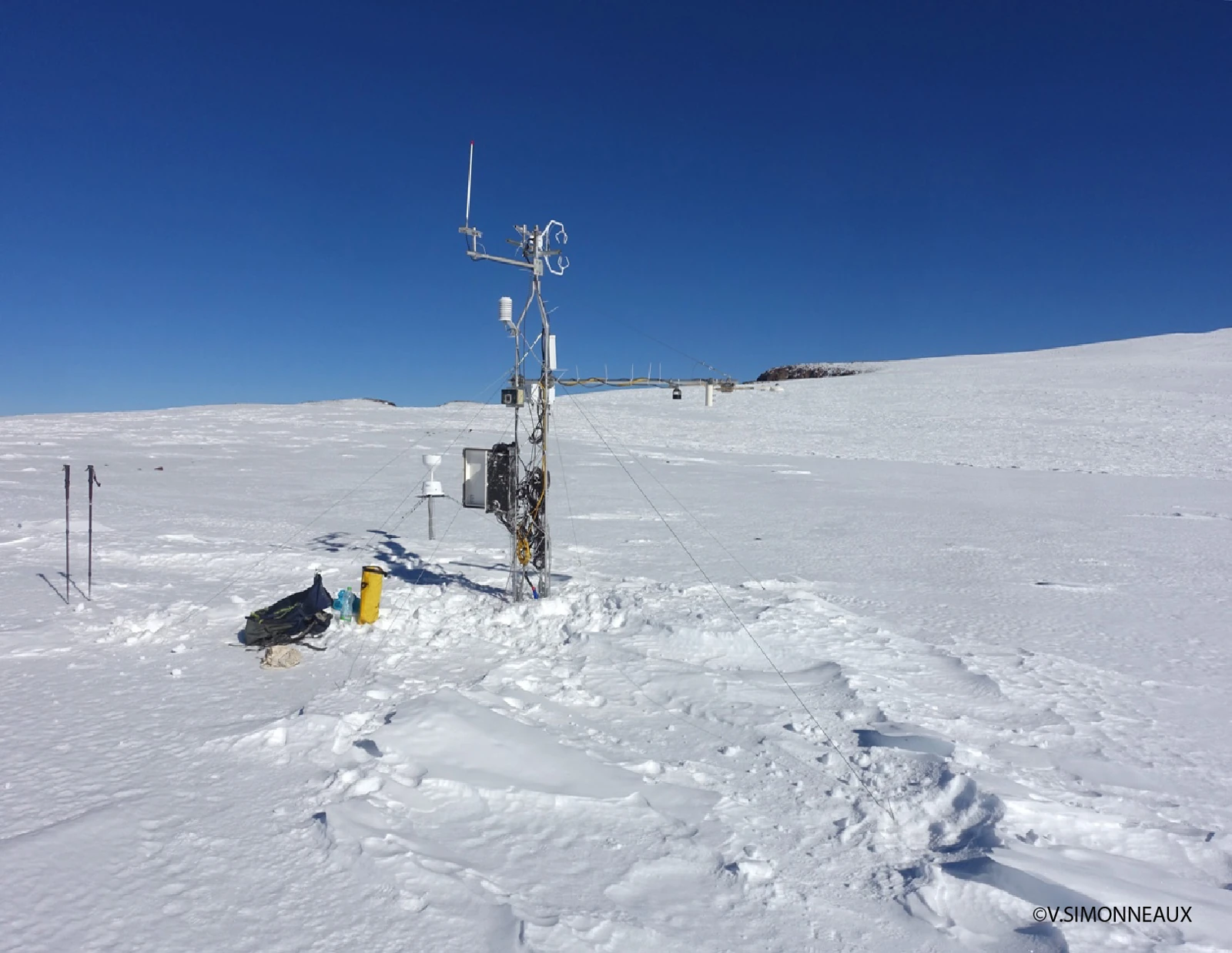
Snow-Science Station at 3,850 m
A weather and water-vapour flux station documented in the 2024 study by Lahoucine Hanich and colleagues operated on the Tazaghart Plateau at 3,850 m from September 2020 through January 2021. The station measured sublimation, the direct conversion of snow to water vapour without melting. The campaign's energy and water budgets attributed 42 percent and 40 percent of measured snow losses respectively to that process over the monitoring period.