
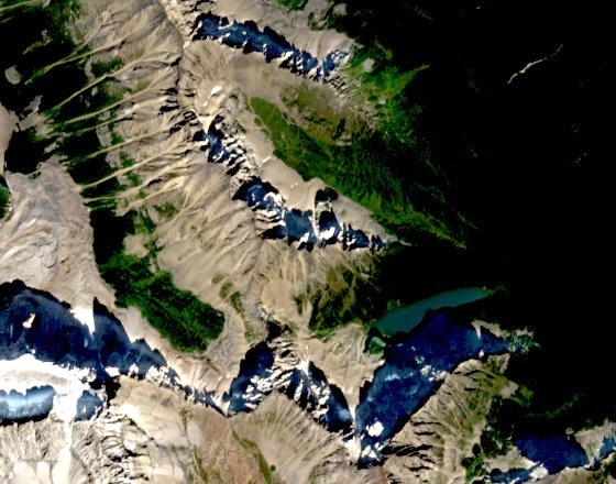
Landform and Setting
The basin holds Taylor Lake on the northern side of Mount Bell, whose summit rises to 2,910 metres, and Panorama Ridge lies to its northwest. Natural Resources Canada records the official naming decision for Taylor Lake on 3 April 1952. O'Brien Lake is a smaller mountain lake farther east.
The Trans-Canada Highway runs through the Bow River valley to the north, placing the basin well above and apart from the valley corridor.
The Taylor Name
According to R. W. Sandford's book published by Athabasca University Press, the lake commemorates George Herbert Taylor, a horse packer who worked with surveyor Arthur Oliver Wheeler. The survey mapped the boundary between Alberta and British Columbia between 1913 and 1924. The National Parks Branch used the Taylor Lake name in its 1929–30 report.
Trail History
The National Parks Branch annual report for the fiscal year ending 31 March 1930 records the construction of a three-mile trail, approximately 4.8 kilometres, linking the Castle Mountain bungalow camp to Taylor Lake.
In 1938 a separate effort led by Banff outfitter Claude Brewster and a group of volunteers, among them Canadian Pacific Railway photographer Nicholas Morant and his wife Willie, worked on a route running northwest from the Banff–Windermere Highway through Taylor Lake toward Moraine Lake. Trail historian Brian Patton documents this project in his account of the Bow Valley Highline Trail.
Alpine Larches
Field observations recorded by Richard Campbell for the Alpine Club of Canada note alpine larches in the upper basin and along the approach to Taylor Lake. Alpine larches are deciduous conifers whose needles turn yellow in autumn before shedding, so they can be picked out among neighbouring conifers in autumn.