
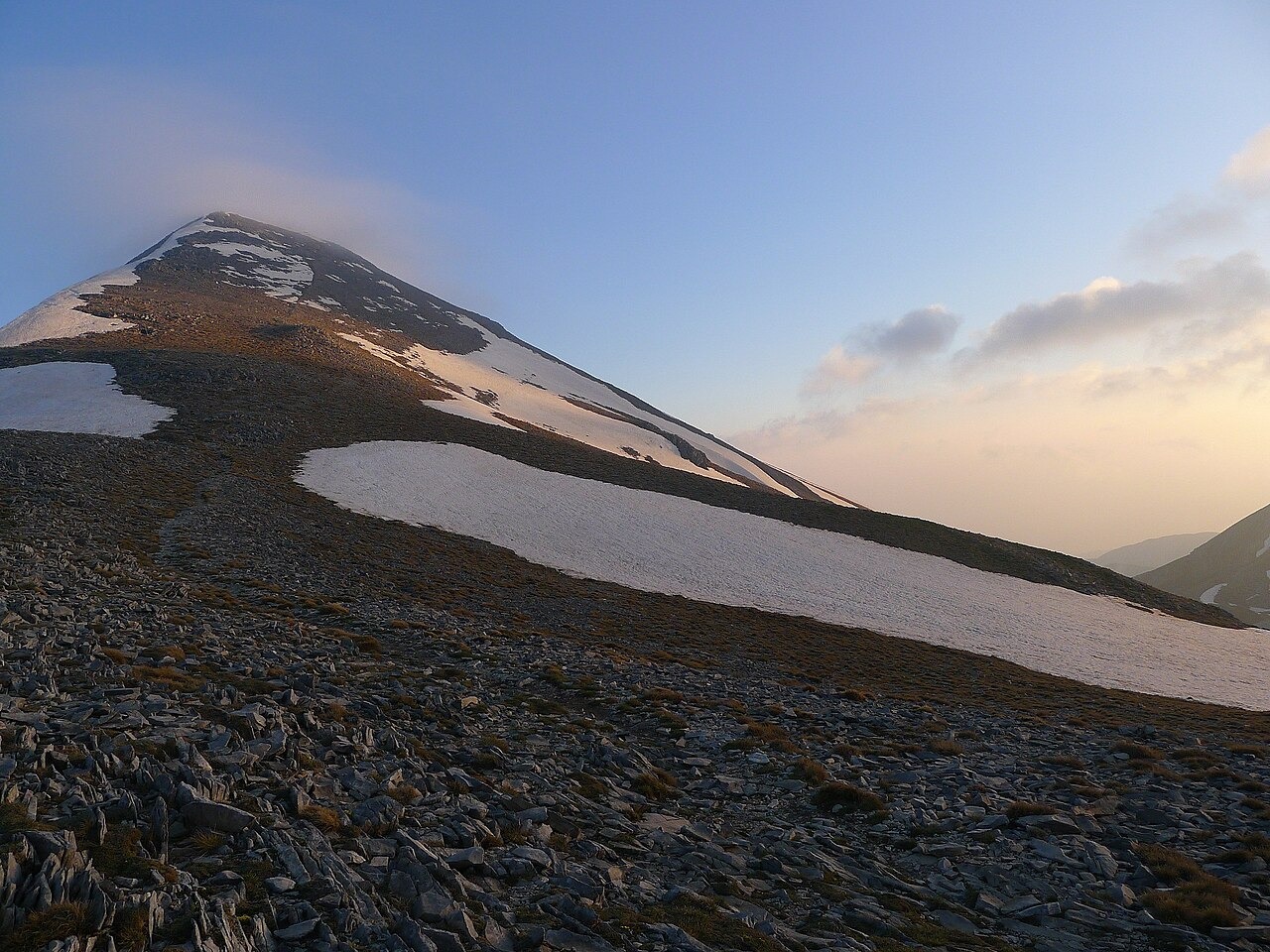
Fault Structures and Rock Sequence
The eastern front of Taygetus and the asymmetrical Sparta basin to its east reflect displacement along normal faults documented in a geological study by the National Observatory of Athens and coauthors. The massif itself contains crystalline limestones, dolomites, and older phyllites, while the adjacent basin preserves a sedimentary record that includes deposits from former lakes. Research associated with the British School at Athens, examining the Kouphovouno site and the surrounding Sparta basin geomorphology, draws on this stratigraphic context to reconstruct landscape change over time.
Endemic Fauna and Forest Habitats
The high slopes near Profitis Ilias support the endemic grasshopper Oeopodisma taygetosi, a species reported by NECCA as part of its Natura 2000 profile for the mountain. Downslope, the massif carries black-pine and Greek-fir forest habitats, both recorded in NECCA's conservation assessments for the southern Peloponnese, where the authority also documents rare beetles including Ophonus taygetanus among the forest fauna.
The Varvara Refuge
The Greek National Tourism Organisation records a mountain refuge at Varvara, built in 1962, situated at 1,550 m on the eastern side of Taygetus and operated by the Hellenic Mountaineering Association of Sparta.