
The Volcanic Ridge
The Smithsonian Global Volcanism Program describes Taveuni as a basaltic shield volcano with about 150 vents along a northeast–southwest rift. Over successive eruptions, lava from vents along that line helped build the island’s long volcanic spine. The lake occupies a depression in the uplands above the coast.
Lake Tagimaucia and Its Wetland
The SPREP wetland inventory puts the site at about 213 hectares, of which about 16 hectares are open water. Its floating mat of sedge peat reaches 2 to 3 metres in thickness. In a field study published in 1986, Southern and colleagues measured depths of 2.5 to 5.5 metres in open water and recorded a pH of 5.0 to 6.5.
Conditions vary over time. A SPREP comparison of images taken in January 1999 and July 2016 found lower water levels and differences in wetland vegetation in the later image. That July observation was made during a drought after Tropical Cyclone Winston had reached Fiji in February.
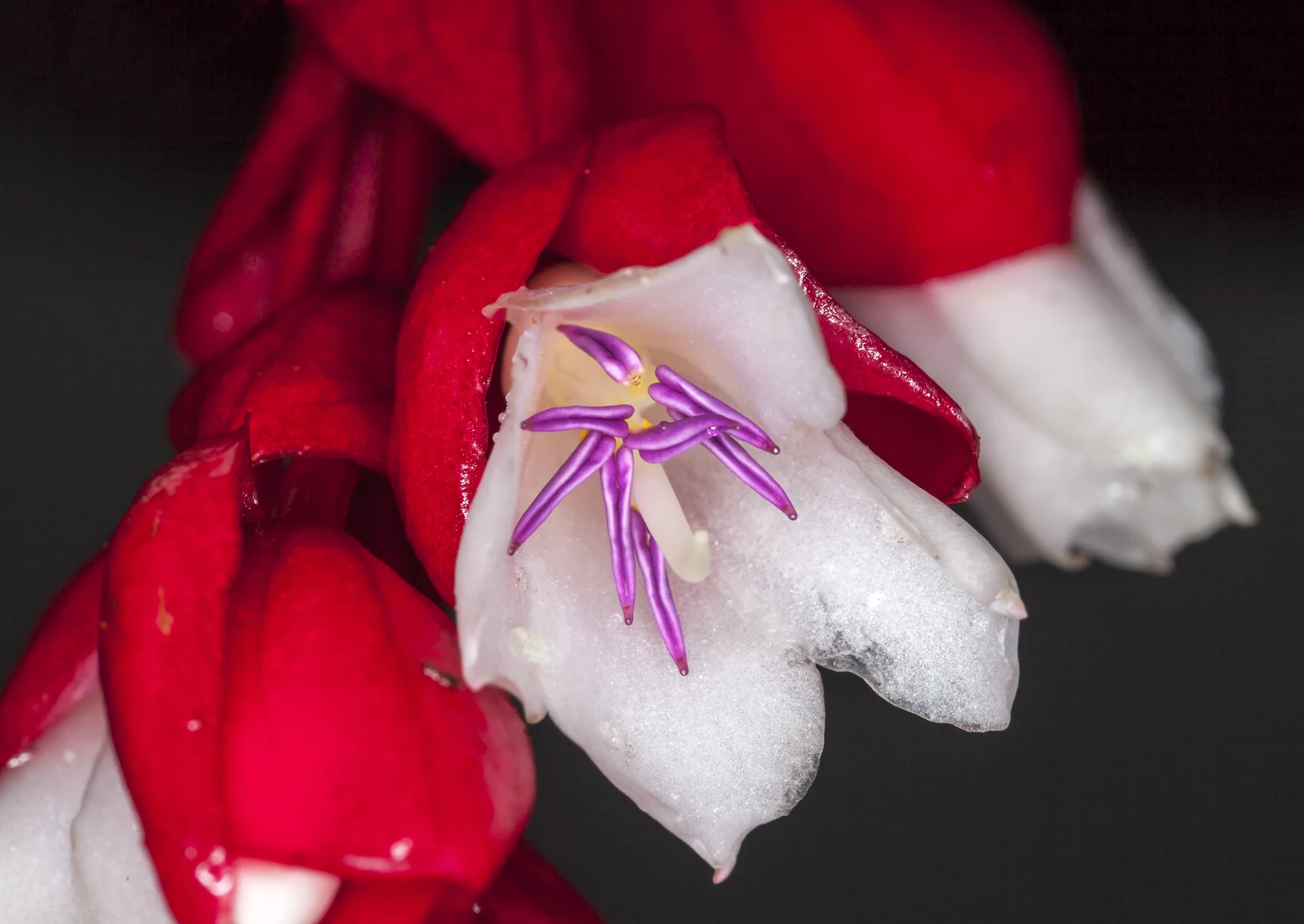
Medinilla waterhousei
Tagimoucia (Medinilla waterhousei) is a woody climber found in Taveuni’s uplands, including around the lake. Kew also records it as native to the neighbouring island of Vanua Levu. The white petals, purple anthers and scarlet bracts can be seen in John Game’s photograph of a wild plant on Taveuni in November 2016.
Forest Cover and Encroachment Pressure
SPREP’s 2020 assessment documents forest clearance within Taveuni’s reserve and notes that July 2016 imagery showed signs of vegetation stress across areas on both sides of the ridge. The report calls for field surveys of forest health. At the lake, tracking the open water together with the floating and surrounding vegetation gives a fuller picture of the wetland’s condition.