
Named Points and the Question of Measurement
An August 2025 GNSS survey by Mongolia's geodesy agency measured Khüiten at 4,351 m, confirming it as the range's highest point, and placed the western tripoint at 4,081 m. That figure revises the 4,082 m value published by the Council of Ministers in 1980. The agency notes that the name Nairamdal, sometimes applied to the tripoint, is a mistaken association.
Rock Art in the Valleys
Three sites — Tsagaan Salaa–Baga Oigor, Upper Tsagaan Gol (Shiveet Khairkhan), and Aral Tolgoi — were inscribed on the UNESCO World Heritage List in 2011 as the Petroglyphic Complexes of the Mongolian Altai. Their carvings span roughly 12,000 years, a record that reflects changing landscapes. Deer carvings among the comparatively early work at Aral Tolgoi point to more wooded valleys during the Early Holocene. Later carvings document herding practices and horse-dependent nomadism. In the 2011 inscription documentation, all of Aral Tolgoi and roughly half of the Upper Tsagaan Gol complex lay within Altai Tavan Bogd National Park, a designation separate from the UNESCO listing of those three named complexes.
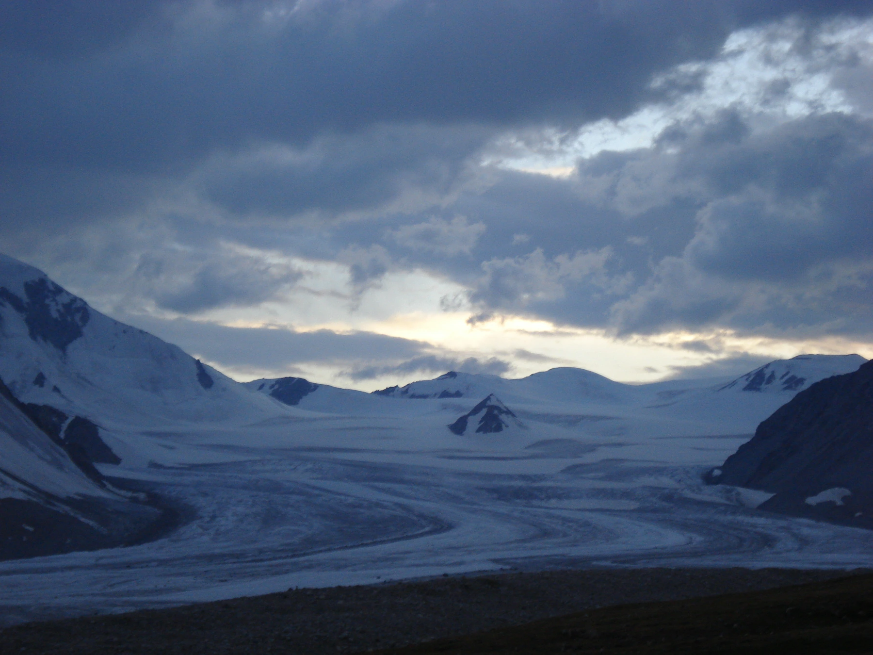
Potanin Glacier and the Record of Ice Change
Mongolian and Japanese researchers began monitoring Potanin Glacier in 2003, using stakes, pollen sampling, and snow pits to track mass balance — the difference between accumulation and loss. Field work in 2005, 2008, and 2009 each yielded estimates of greater loss than gain, with 2008 recording the lowest balance, a year of relatively warm temperatures and reduced snowfall. A 2018 study reconstructed how glaciers across the group have changed since the Little Ice Age. A 2021 reassessment drew on the near-annual observational record and applied updated modelling to extend the picture of change.