
A Summit Defined by Its Plateau
Survey records distinguish the broad, nearly level summit area from the lookout tower, which stands at a separate point along the ridge rather than at the true high point. The terrain across the upper St. Francois Mountains shifts so gradually that the structural apex and constructed vantage occupy different locations.
Volcanic Origins a Billion and a Half Years Old
The rocks of the surrounding natural area include rhyolite, a fine-grained volcanic stone. Missouri's conservation agency dates the region's volcanic origins to approximately 1.5 billion years ago. Prolonged erosion stripped away younger sedimentary cover, exposing these ancient formations at the surface without preserving any original volcanic structure.
Mina Sauk Falls and the Drainage Below
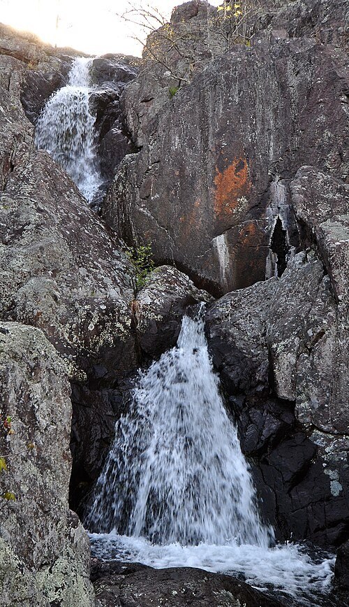
Below the summit plateau, Mina Sauk Falls descends as a wet-weather waterfall, flowing when rainfall is sufficient rather than as a permanent stream. Taum Sauk Creek carries the broader drainage through a deep valley cut into the ancient rock below.