
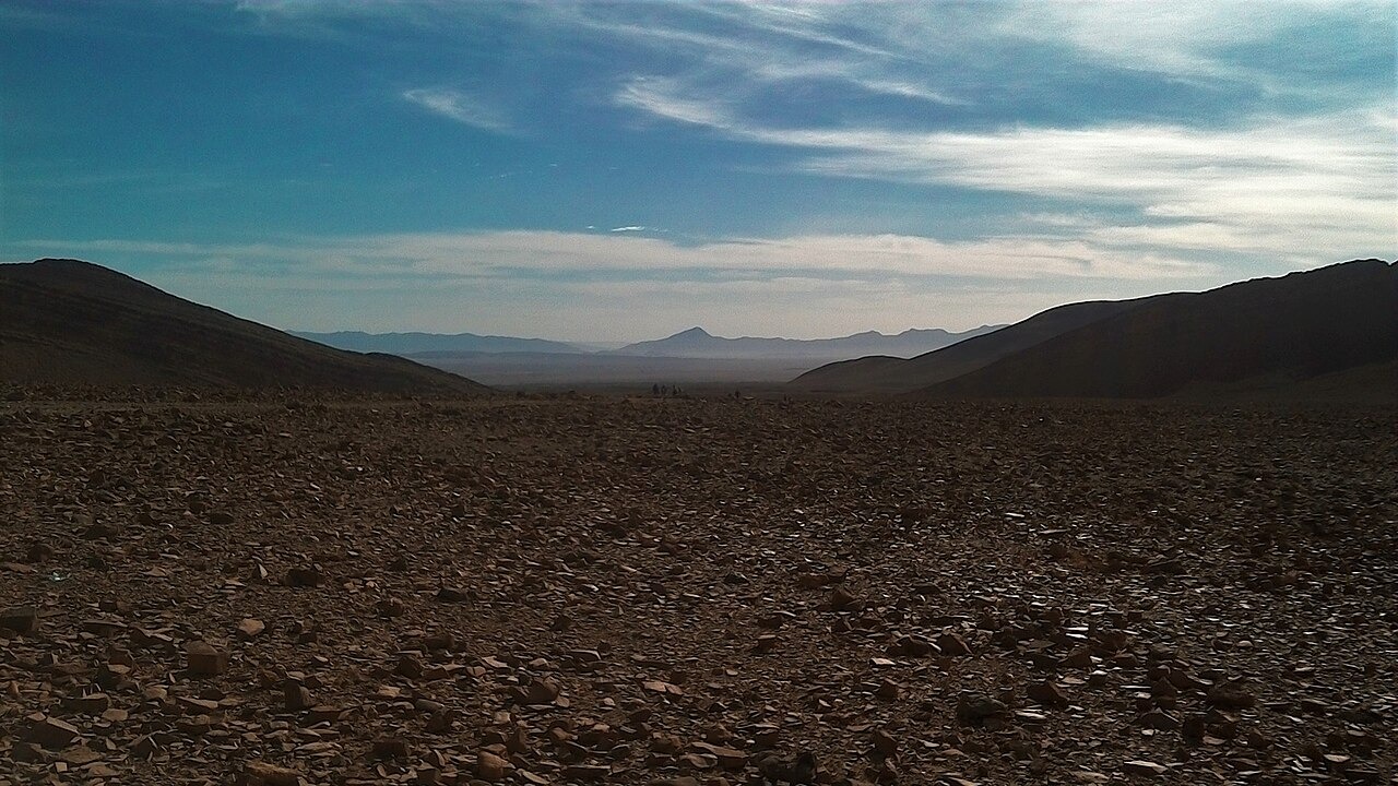
Cambrian Rock and Alluvial Terraces
The Géoparc Jbel Bani field synthesis documents Cambrian and Ordovician formations as the structural foundation of the southern Anti-Atlas, exposed across the region's ridges and escarpments. Above these older rocks, geoscience researchers sampled thick alluvial deposits using optical and radiocarbon dating methods to investigate Late Pleistocene accumulation across the broader southern Anti-Atlas. The Oued Tata system has left behind broad silty terraces on valley floors and older alluvial fans on slope margins, with present channels cutting through that accumulated material.
The Foum and Jbel Bani Escarpment
Oued Tata descends from the mountain valley, crosses alluvial plains known locally as feijas, and passes through the Jbel Bani escarpment by way of a gorge called a foum. Geographic field research maps this transition as a structurally defined break in the landscape, where the river's passage through resistant rock creates one of the defining features of the sub-region. The Hassan II Academy of Science and Technology has identified heart-shaped landforms, described as geomorphosites, in the Tata region, representing locally occurring geometries within this varied relief.
Oases Along the River Corridor
Annales de Géographie field research maps oases at multiple points along Oued Tata and at the foot of the Jbel Bani escarpment, with El Aïoun and Tiggane specifically named in the documentation. Irrigation along this corridor draws on the river's flow, while shifting sand has been recorded encroaching on cultivated ground in the same landscape. These documented oasis settlements sit within the broader terrain of alluvial plains and escarpment foothills that characterize the Tata area.