
Geology and Landform
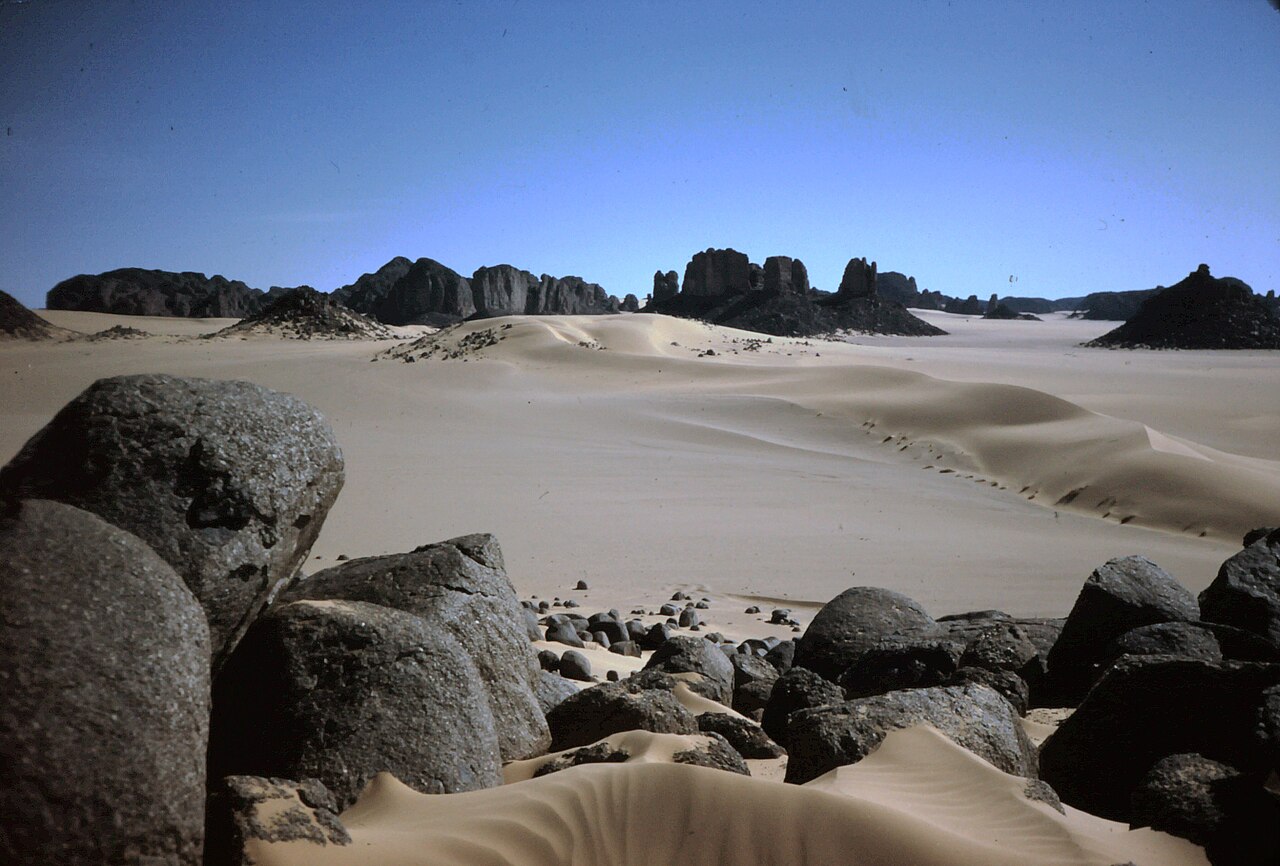
The plateau is built from Ordovician and Devonian sandstones laid around a Precambrian basement. Erosion has shaped these formations into tall isolated rock pillars and deep ravines that fragment the plateau surface, creating the sheltered passages and microclimates where the site's rock art is concentrated. The plateau surface ranges from 1,500 to 1,800 metres within the UNESCO Man and the Biosphere reserve, and Mount Afao, the highest point across the wider park, reaches 2,158 metres according to UNEP-WCMC data.
Rock Art
UNESCO records more than 15,000 rock drawings and engravings at Tassili n'Ajjer, spanning approximately 6000 BCE to the first centuries CE. Subjects depicted across this period include cattle, horses, camels, and hippopotamuses. This concentration of imagery across several millennia constitutes an exceptional record of human activity in the region.
Protected Area Designations
UNESCO inscribed Tassili n'Ajjer as a World Heritage Site in 1982, with the inscribed property covering approximately 72,000 square kilometres. This World Heritage designation is separate from the site's designation under UNESCO's Man and the Biosphere Programme, which carries distinct criteria and boundaries from the World Heritage inscription.