
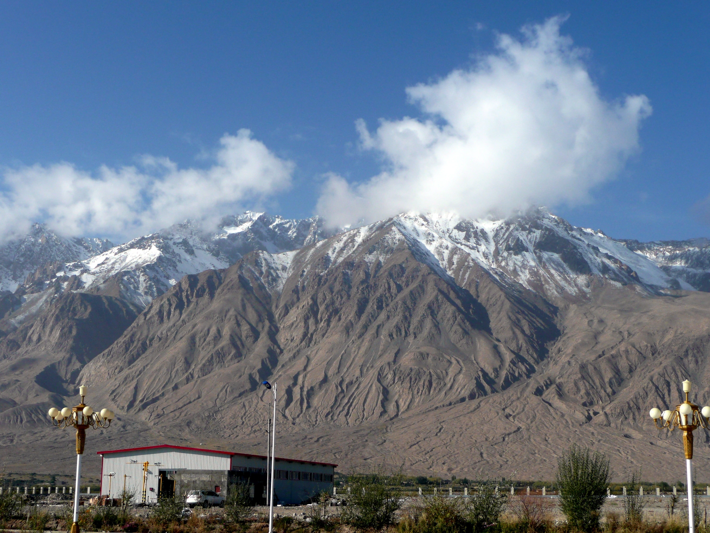
Sidun Mountain and the Glacial Landscape
Sidun Mountain (斯顿山), west of the county seat, anchors the named topography on this side of the valley. A 2014 study led by Bian Xiaowei identified three remnant glacial till deposits around the town — at the former military service station, at Stone City, and near a fuel station — and attributed them to an older glacial advance originating from Sidun. One boulder exposed at the Stone City site measured up to 25 metres across; Bian's team described the mineral material as resembling syenite found west of town, which they treated as evidence linking the erratic to a Sidun source. Their field photographs show a U-shaped valley profile above the town, with hanging valleys and cirques in the Sidun landscape.
Independent field mapping by Lewis A. Owen and colleagues, published in a peer-reviewed 2012 study using cosmogenic beryllium-10 dating, documented multiple generations of moraines at several locations in the Tashkurgan Valley. At the mouth of the Kuzigun tributary, three mapped moraine sets are nested, each younger set positioned progressively closer to the valley mouth — a spatial pattern Owen's team interpreted as the signature of successive glacial advances of diminishing extent. The ridges mark the sides and ends of glaciers, while the boulders give geologists material to date.
The Tashkurgan River and the High-Altitude Water Cycle
The Tashkurgan River drains the valley and eventually joins the Yarkand River. County records identify snowmelt, melting ice, and precipitation as sources of surface water and groundwater recharge.
Stone City and the Layered Human Record
The ruins known as Stone City occupy the valley floor near the till exposures Bian's team documented. UNESCO's regional history of Central Asia records a southern branch of the Silk Road network that crossed Tashkurgan and the Pamir, passing through the Wakhan valley towards Balkh. The Architectural Heritage Institute records several periods of occupation at Stone City. It served as the capital of Qiepantuo in the Jin–Tang period, and a Qing-era town was later built on its foundations. Archaeological work in 2019–2020 distinguished an outer city from an inner city, and identified three enclosures within the inner city. China's State Council listed Stone City for national-level heritage protection in June 2001; the Xinjiang regional legislature adopted a dedicated site protection regulation in March 2025.
The Western Skyline
Martin Jung’s 2012 photograph faces west from the town. The low buildings in the foreground and snow along the high ridges give a sense of the valley’s relief. Deep gullies cut the lower slopes.