
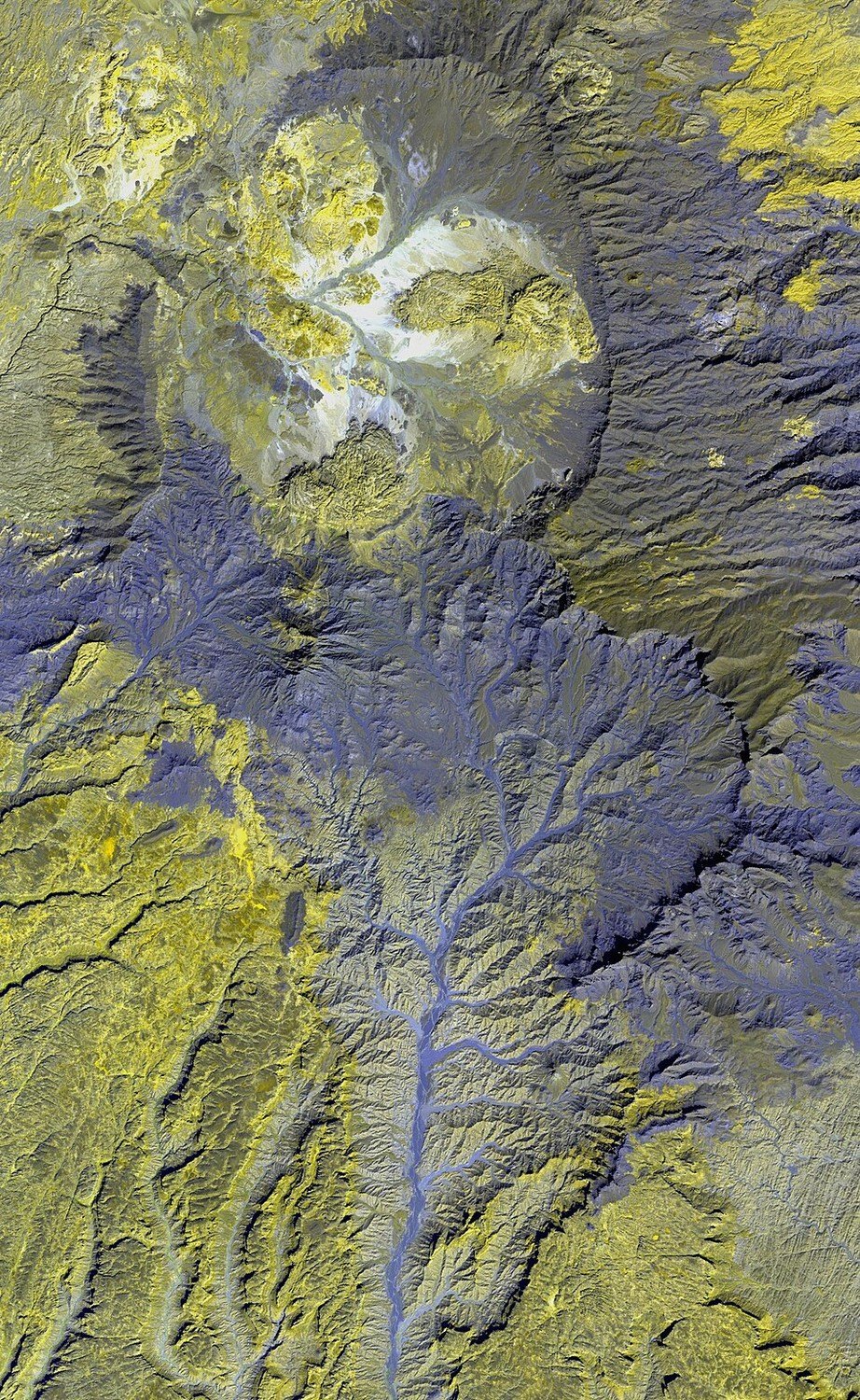
Stages of Eruption and Caldera Formation
Permenter and Oppenheimer's ASTER analysis proposes a succession of lava effusion, tephra and ash emplacement, and eventual subsidence at Tarso Yega. Widespread volcanic deposits mapped around the edifice are interpreted as evidence of collapse associated with large-scale tephra output, pointing to a layered eruptive history rather than a single formative event.
Regional Age and the Tibesti Construction Interval
Modern regional studies place the principal Tibesti shield volcanoes, including Tarso Yega, within a broad construction interval spanning approximately 8 to 5 million years ago. This timeframe reflects the regional pattern of edifice building across the massif and situates Yega within one of Africa's most extensive episodes of continental volcanism.
What Satellite Terrain Data Reveal
ASTER imagery contributed both topographic measurement and rock-type distinction at Tarso Yega, allowing Permenter and Oppenheimer to separate lava surfaces from tephra deposits remotely across terrain that ground survey covers only in part. This spectral and elevation analysis forms the primary basis for the mapped extent of volcanic deposits and the caldera dimensions reported for the volcano.