
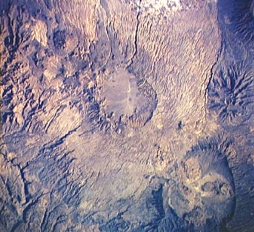
Caldera and Summit Structure
The summit caldera of Tarso Voon spans 14 by 18 kilometres, making it one of the larger collapse features in the Tibesti volcanic field. The Smithsonian Global Volcanism Program documents this shallow depression as the defining landform of the massif. Rim vents have subsequently sourced younger basaltic flows that overlie earlier caldera-forming deposits across the upper elevations.
Ignimbrite Deposits and Eruptive Reach
Dense currents of ash and volcanic debris generated ignimbrite sheets that extend 15 to 35 kilometres from the caldera, as recorded by the Smithsonian. Permenter and Oppenheimer's ASTER-based analysis of Tibesti volcanoes identified these deposits across the surrounding terrain. Additional basaltic flows in the broader area originated from the neighbouring vent Ehi Mousgou, a distinct volcanic structure adjacent to the Voon massif.
Soborom Solfatara Field
Approximately five kilometres west of the caldera rim, the Soborom solfatara field marks a zone of hydrothermally active ground where steam and sulfur-bearing gases reach the surface. Research published in the Bulletin of Volcanology recognises Soborom among the variety of volcanic landforms associated with Tarso Voon, reflecting the range of surface expressions that characterise the Tibesti volcanic system.