
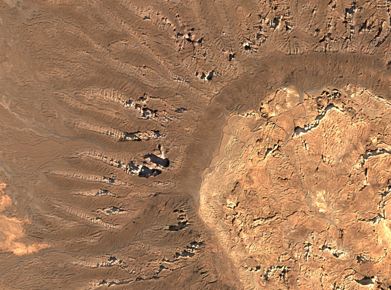
Summit Depression and Caldera Dimensions
The summit hosts a depression measuring approximately 11 by 12 kilometres across and reaching around 494 metres in depth, as recorded in tabulated survey data published in the Bulletin of Volcanology. Elshaafi and Gudmundsson, in their study of caldera collapses across the Tibesti Volcanic Province, place Tarso Toon among the province's structurally significant collapse features, reflecting the scale of subsurface magmatic withdrawal that shaped its upper edifice.
Volcanic Stratigraphy and Edifice Character
Permenter and Oppenheimer's ASTER-based mapping identifies Tarso Toon as a central edifice distinct from the neighbouring western feature Tarso Tôh. The volcanic succession records old ignimbrites forming a basal framework, with later felsic volcanic rocks deposited across the upper structure. This layered stratigraphy reflects the prolonged and varied eruptive history characteristic of large Tibesti central volcanoes.
Position Within the Tibesti Volcanic Province
The Tibesti Volcanic Province spans a broad area of the central Sahara, and Tarso Toon occupies a position among the province's principal central edifices at approximately 21.07°N, 17.62°E. Provincial-scale studies associate this group of large shields with an 8–5 million-year constructional phase, during which sustained magmatic activity built the dominant topographic forms that define the range today.