
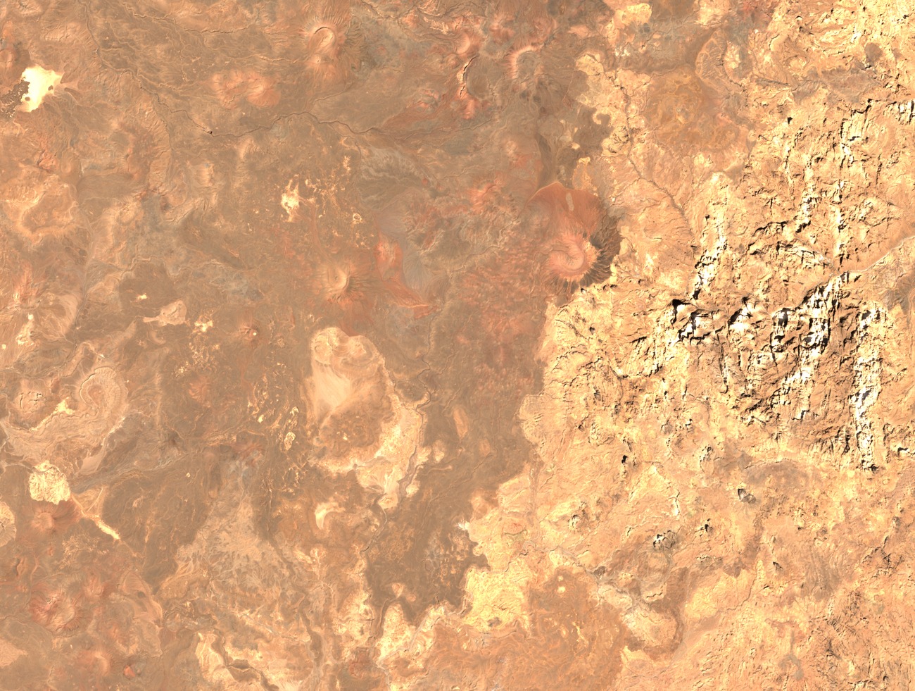
Plateau Landform and Component Massifs
The plateau surface incorporates separately named adjacent volcanic units in eastern Tibesti, including Tarso Aozi and Tarso Ahon. Flows of basaltic composition spread across the terrain from multiple vent sources, building a layered landscape of overlapping lava sheets and scattered cinder cones.
Permenter and Oppenheimer's Structural Mapping
Work published in the Bulletin of Volcanology by Permenter and Oppenheimer systematically compared surface units across the eastern Tibesti plateau and attributed flows to multiple discrete vents. Their relative sequence is established through mapped overlap of lava flow units, identifying which surfaces overlie others.
Position within the Cenozoic Tibesti Province
Deniel and colleagues placed Tarso Emi Chi among the basaltic fields that together constitute the Cenozoic volcanic province of Tibesti. Their study outlines major units, structural features, and a provincial chronological framework, situating the eastern plateau fields within a longer eruptive history shared across the broader Tibesti massif.