
Bedrock and Slopes
Abay Namen and colleagues recorded granite and diorite, both intrusive igneous rocks, as well as scattered fine-grained shale exposures across the range. East Kazakhstan's tourism authority identifies talc schist and crystalline limestone in other parts of the ridge. Within the protected area, the southern slopes are generally short and steep while the northern slopes are more gradual, and Kazakhstan's official 2023 survey reported no glaciers in the range.
Palaeolithic Foothill Sites
A joint Kazakh and Russian expedition identified the stratified Ushbulak-1 archaeological site in the Shilikty valley in 2016. Blade tools and other stone implements recovered from these deposits record episodes of human activity across the wider foothills. In 2021, Kurbanov and colleagues drew on luminescence and radiocarbon evidence to place the main early occupation at approximately 45,000 to 47,000 years ago.
Fieldwork in 2018 and 2019 within the broader region recorded silica-rich shale and mudstone pebbles in foothill streams, together with scatters of stone artefacts near springs at Chilibastau and Kokbastau. Researchers suggested that reliable access to water and to stone suitable for tool making may have drawn people to the foothills.
Tarbagatai National Park
On 27 June 2018 Kazakhstan established Tarbagatai National Park under decree 382, covering approximately 143,550.5 hectares on the Kazakh side of the range. A 2024 study based on summer 2022 fieldwork documented Rhaponticum carthamoides, known as maral root, growing on well-drained subalpine meadows within the park. Researchers used repeated sample plots to describe the plant and characterise its habitat.
The Meadow Photograph
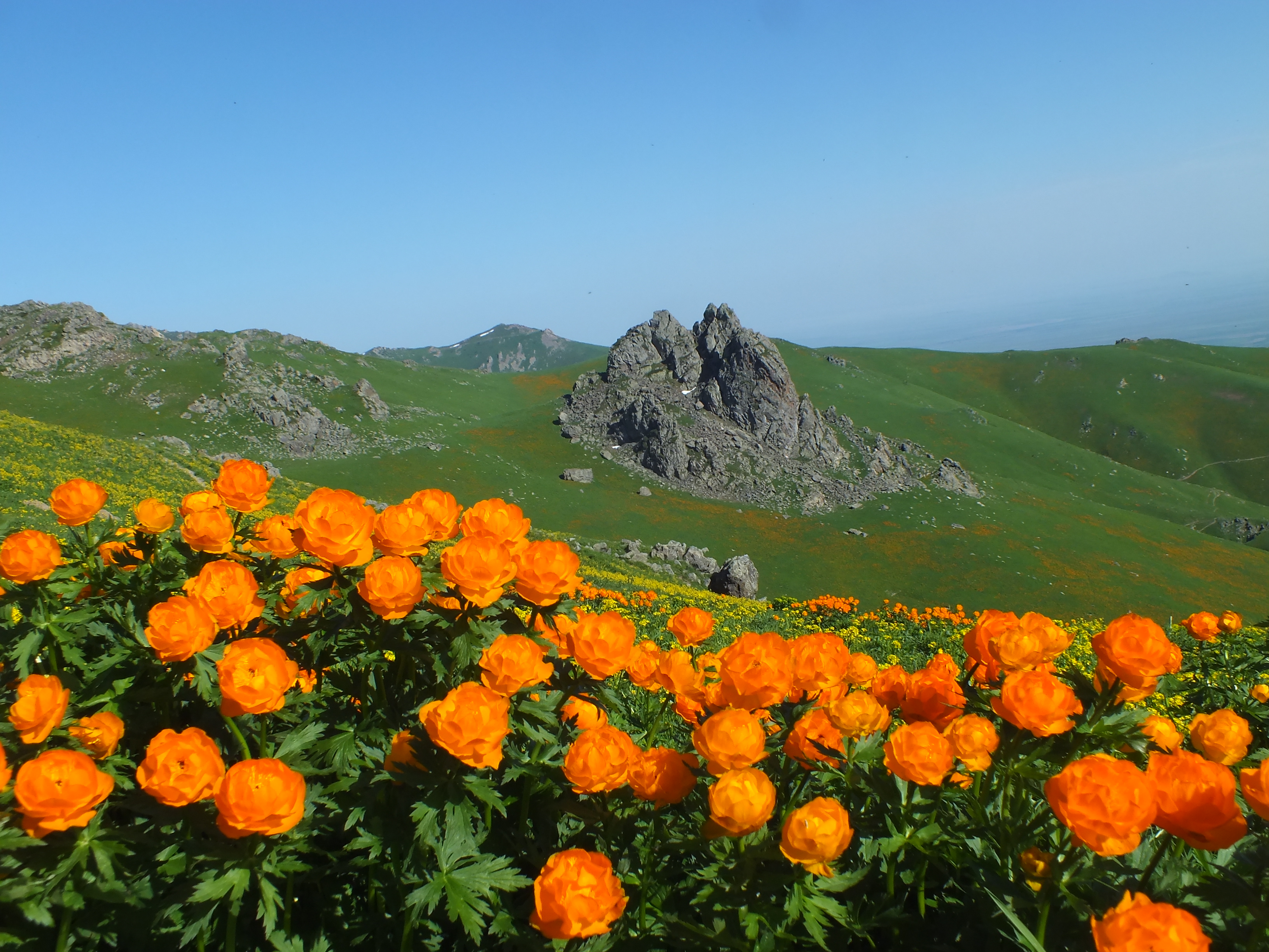
The ground photograph taken on 11 June 2016 shows orange flowers carpeting grassy slopes alongside sharp rocky outcrops on land now protected within Tarbagatai National Park. The image is credited to Tarbagatai2018 and is made available under the licence CC BY-SA 4.0.