
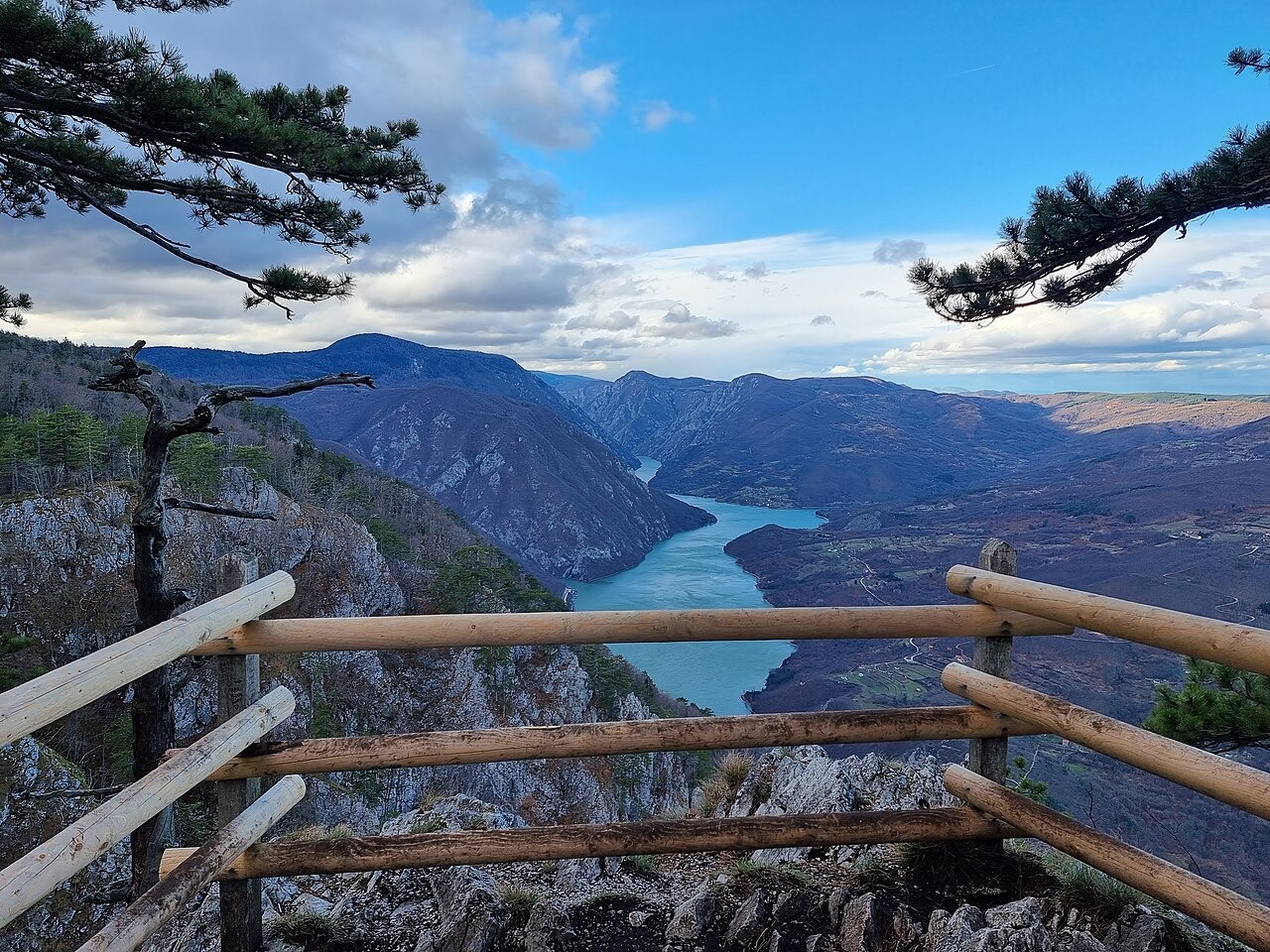
Limestone Terrain and the Drina Gorge
Much of Tara and the adjacent Zvijezda is underlain by Middle and Upper Triassic limestone, among other mapped formations, as described in the national park's geographic documentation. The Drina gorge runs along Tara, with steep slopes rising from the river to the plateau above. Banjska Stena is the viewpoint over the gorge from which the photo was taken.
The Serbian Spruce
Tara National Park attributes the 1875 discovery of a specimen to Josif Pančić at a site called Šklopovi near Zaovine. The Serbian spruce (Picea omorika) grows on steep limestone terrain recorded by the park. The EU Joint Research Centre's forest atlas describes a restricted distribution in western Serbia and Bosnia and Herzegovina.
National Park Status
Tara National Park was established on 13 July 1981. The park expanded in 2015 and now encompasses land on Tara and the neighboring Zvijezda massif. The planning boundary extends to the margins of the Drina canyon.