
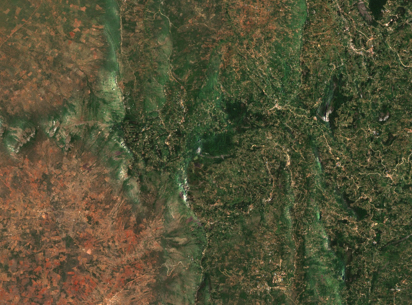
Geology and Landscape of an Isolated Massif
The Taita Hills are underlain by Precambrian gneiss, among the older rock formations in East Africa. Their isolation from other highland systems has shaped a landscape of steep escarpments, narrow ridges, and enclosed valleys. Elevation gain from the surrounding plains is abrupt, producing sharp transitions in soil moisture, temperature, and vegetation cover across short horizontal distances.
Cloud Forest Remnants at Vuria, Ngangao, and Chawia
Native cloud forest persists in fragments across the Taita Hills. Vuria is managed by Taita-Taveta County, while Ngangao falls under the Kenya Forest Service. A forestry devolution agreement reached in 2013 and 2014, as reported by Nature Kenya, defined these arrangements between county and national forest service authorities. Local communities and conservation partners have undertaken restoration work to improve connectivity between the fragments.
Conservation Status and the Taita Apalis
The Taita Hills forests are recognised as a Key Biodiversity Area. Nature Kenya lists the Taita apalis among the species for which these forests are protected. The region's combination of gneiss soils, residual cloud forest, and upland grassland supports a range of species associated with the Eastern Afromontane biodiversity hotspot.