
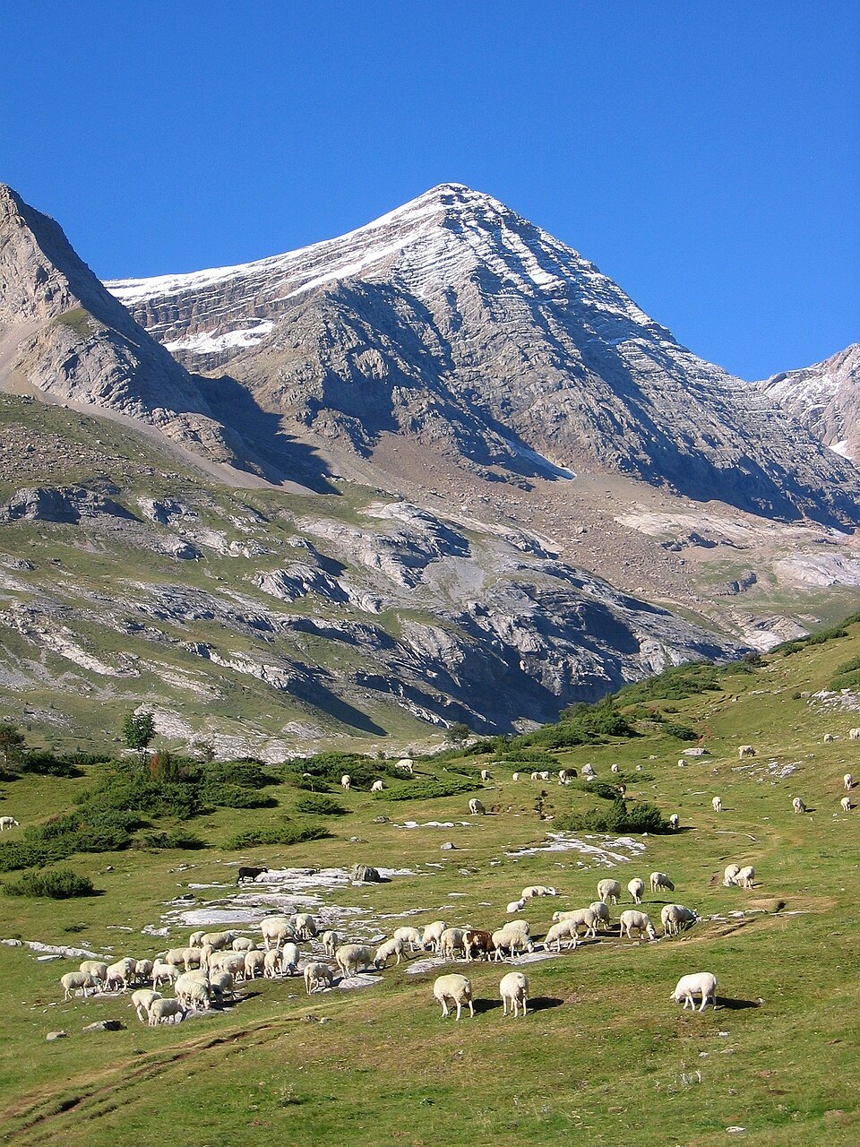
The Monte Perdido Massif and the Cirque de Gavarnie
The Pic du Taillon belongs to the Monte Perdido massif, the central section of the Pyrenees that concentrates several of the range's highest summits. It rises above the Cirque de Gavarnie, one of the most celebrated natural amphitheatres in European mountain landscapes. This commanding position gives the summit an exceptional visual reach: from the top, the gaze extends across the Monte Perdido massif itself, the Vignemale massif, the Néouvielle massif, and the Balaïtous, according to available field notes.
The Doigt de la Fausse Brèche
The route to the summit has a notable topographical feature: the final section of the ascent begins at the Doigt de la Fausse Brèche (the Finger of the False Breach), a distinctive rock landmark from which the slope becomes somewhat steeper. This terminal stretch is described as the only genuinely steep section of a route that, in the absence of snow, presents no technical difficulty. The Pic du Taillon is thus regarded as one of the most accessible three-thousanders above the Cirque de Gavarnie.
History of Ascents: 1792 to 1895
The first known ascent of the Pic du Taillon is attributed to Heredia, a Spanish military cartographer, in 1792. This date places the summit among those whose documented human exploration dates back to the earliest decades of systematic Pyrenean mountaineering, contemporary with the great military cartographic surveys that traversed the border ridges.
A century later, in 1895, Henri Brulle and his guide Célestin Passet made the first ascent by the north face. This northern route, more committing than the standard itinerary, marks a milestone in the history of technical exploration in the Pyrenees. The name of Célestin Passet — a celebrated guide in late nineteenth-century Pyrenean mountaineering — is associated with several first ascents of that era in the massif.