
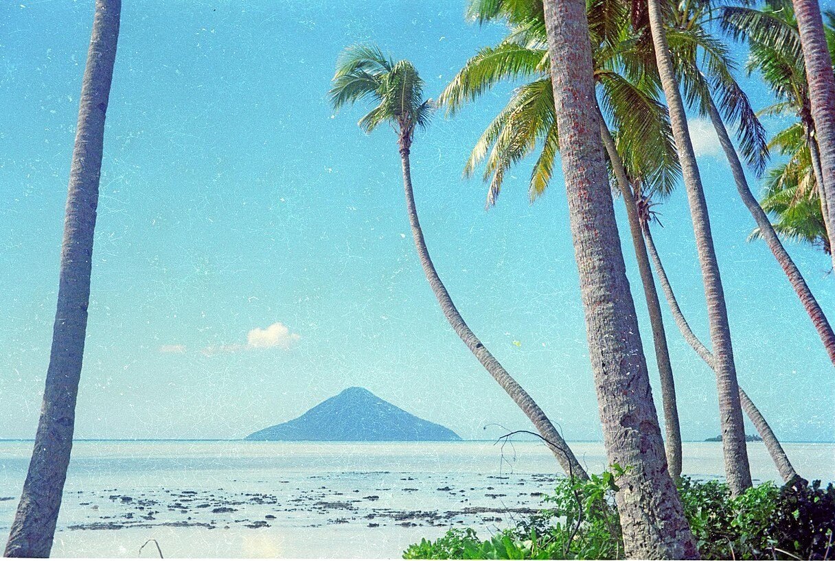
Position and Form
The island's north–south elongation reflects the underlying structure of a basaltic-andesite volcano, a composition that places it within the broader andesitic-to-basaltic character of the Tofua arc. The Smithsonian Global Volcanism Program inventory records the southwestern summit at 546 metres, the high point of an island whose narrow fringing reef offers the only structural counterpoint to its steeply eroded flanks.
Erosional Character
Erosion has worked most aggressively on the western side of the island, carving into the volcanic mass and giving Tafahi an asymmetrical profile when viewed across the water. This differential weathering is a defining physical feature, distinguishing the eroded western slopes from the comparatively intact eastern side and reflecting the directional forces—prevailing swells and weather—that have shaped the island over geological time.
Geological Youth and Morphological Comparison
The Smithsonian’s inventory has no confirmed eruption for Tafahi. It compares the form of the cone with that of Kao, another Tongan volcano. A relatively little-eroded cone can suggest geological youth, although its appearance alone gives no eruption date.