
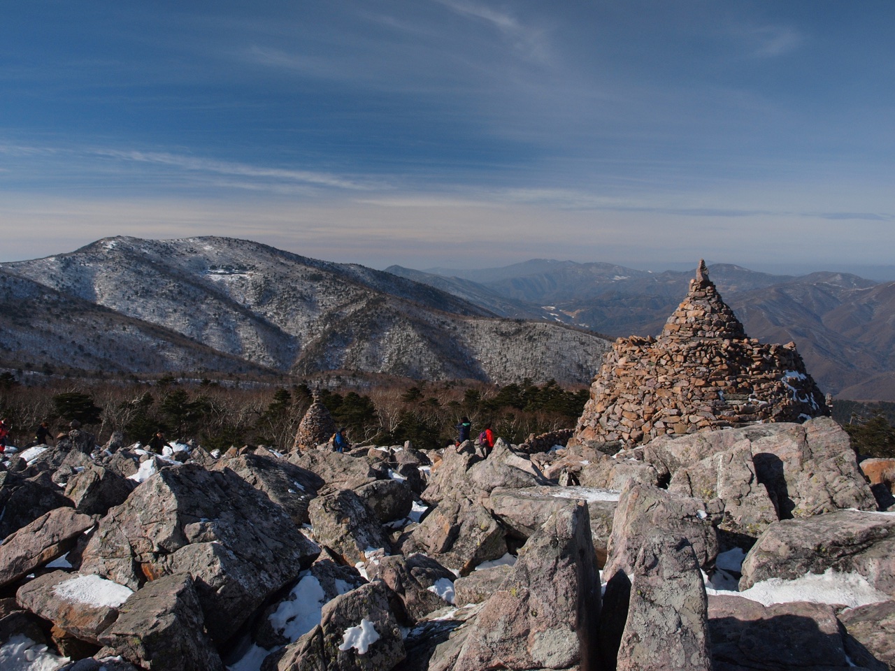
Janggunbong, Yeongbong, and Cheonjjedan
The highest point of Taebaeksan is Janggunbong at 1,566.7 m above sea level; Yeongbong is a separate peak. The two peaks are situated close together but each has its own name and topographic position. Cheonjjedan shrine stands on the summit area. It is known as a structure that preserves the tradition of sky rites, but the specific dates and circumstances of its origin and history belong to the realm of oral tradition and cannot be equated with definitive historical records.
The Winter Landscape of the Yew Groves
Taebaeksan is home to groves of yew trees, and the snowbound scenery during winter is regarded as one of the mountain's defining seasonal features. The sight of the yews' dense, dark forms set against the snow-covered highland terrain reveals a face of the mountain entirely unlike its summer or autumn appearance. Korea Forest Service materials list this winter yew landscape as a principal characteristic of Taebaeksan.
The Ridge Continuing to Bushoebong and Munsubong
The ridgeline of Taebaeksan does not end at Janggunbong. Bushoebong and Munsubong extend the range further, forming the terrain between Taebaek City and Seokpo-myeon in Bonghwa County. This chain of peaks conveys the mountain's scale and orientation in ways that a climb to the single summit alone cannot reveal. The Korea Forest Service formerly managed Taebaeksan as a provincial park, but its current park designation status should be confirmed through a separate source.