
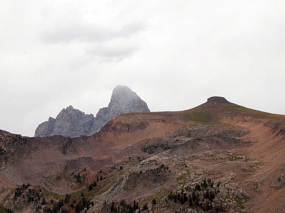
The Summit Crown
The flat top that gives the mountain its name is visible as a distinctive profile from the western side of the range. From the summit, the Grand, Middle, and South Tetons rise to the east, presenting the central peaks of the range from a western vantage.
Geology of the Range
The pronounced relief of the Teton Range reflects regional forces. The Teton Fault forms the structural boundary of the range, and valley glaciers have shaped the terrain, carving the steep walls and drainages visible across the landscape.
East-Face Routes
The National Park Service climbing history records three routes on the mountain's east face in its account of twentieth-century climbing in the range, documenting the east face as a distinct area of route development.