
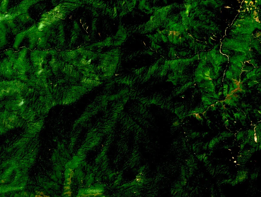
Ridge and Summit Terrain
Vietnam News Agency photographers documented the upper ridgeline as defined by persistent dampness and mossy forest clinging to the high slopes, conditions sustained by clouds settling against the terrain for extended portions of the year. Three main peaks run along the ridge, shaping any traverse of the upper elevations.
Bản Công Upland Setting
The 2,865-metre summit stands within the mountainous Bản Công area of historical Trạm Tấu district, a historically upland area of northern Vietnam. The adjacent Tà Chì Nhù is a distinct summit rising separately within the same broader highland zone of historical Trạm Tấu district.
Provincial Tourism Planning
Around 2020, historical Trạm Tấu district's tourism authority outlined plans to develop mountain tourism along low-impact lines. Provincial documentation identified Tà Xùa's three-peaked ridge as a principal highland asset within that planning framework, with these documents reflecting intentions recorded at that period.