
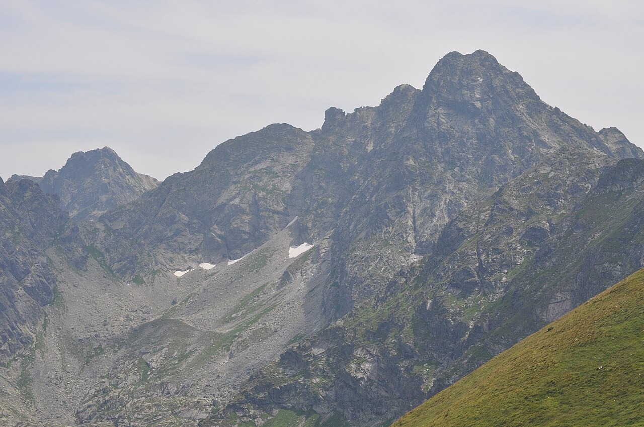
Summit Form and Ridge Setting
Świnica has two summits, a main upper point and a secondary lower one. Its cliffs rise prominently above Hala Gąsienicowa, and the peak forms a recognizable presence on the skyline above this high pasture area. Polish Geological Institute researchers used airborne laser scanning and 1:10,000 geological mapping across the Kasprowy–Zawrat sector to study the broader landscape. That work places Świnica beside the eastern margin of the Gąsienicowa headwaters, where the ridge and cliffs overlook glacial hollows that shaped the terrain.
First Ascent of the Higher Summit
The Polish Biographical Dictionary and Tatra Museum records associate the first documented ascent of the higher summit with the Polish guide Maciej Gąsienica Sieczka in 1867. A historical account names Eugeniusz Janota in connection with that climb. Sieczka is also credited with establishing marked paths in the mountains and contributing to route development on the Świnica approach, placing him among the formative figures of organized mountain guiding in the Polish Tatras.
Literary Record
The Polish Tourist and Sightseeing Society notes that the poet Kazimierz Przerwa-Tetmajer wrote about a view from Świnica towards Dolina Wierchcicha.