
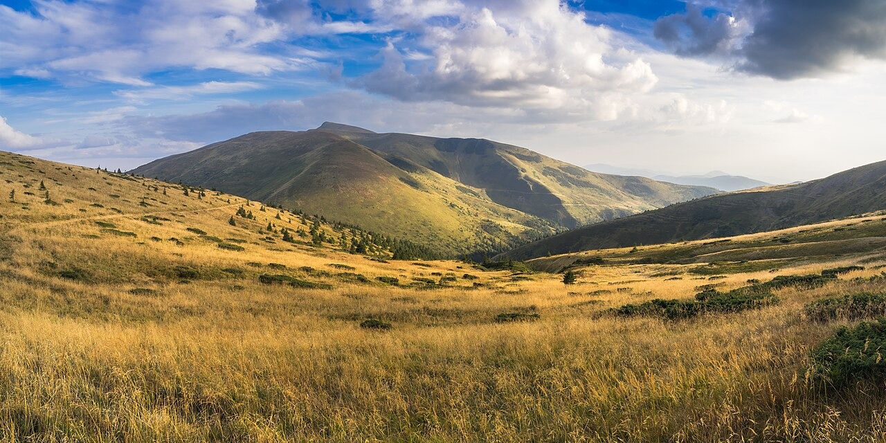
The Blyznytsi Summits and Rock Composition
The Great Ukrainian Encyclopedia identifies Velyka Blyznytsia, the northern and taller of the paired Blyznytsi summits, at 1,883 metres, with the southern summit reaching 1,872 metres. The encyclopedia notes sandstone with limestone interbeds in the Blyznytsi area and documents steep cliff faces on the eastern side of the summits. Broad open grasslands called polonyny spread across the higher ground of the massif.
Glacial Landforms
Research by Kłapyta and colleagues mapped glacial cirques, troughs, and moraines within Svydovets. The study identifies a morphological asymmetry in the massif, with well-expressed glacial cirques concentrated in the northern and northeastern sectors. The mapped terrain retains clear evidence of past glacial action across multiple landform types.
Protected Beech Forest Component
A component of 3,030.5 hectares within Svydovets is included in the UNESCO World Heritage serial listing of Ancient and Primeval Beech Forests, as shown on the World Heritage Centre's component maps. This protected area covers the lower forested zone of the massif. The altitudinal contrast between that forested component and the open upland polonyny above characterises the massif's vertical landscape.